One morning in March, Conservation Matters joined up with members of the Texas Water Resources Institute (TWRI) water team to get a behind the scenes look at the water quality monitoring process. Check out this photo essay to see what it takes to survey and measure water quality in the Navasota River.
Rising in the Hill County roughly 10 miles northeast of Waco, the Navasota River flows approximately 126 miles until it connects with the Brazos River southwest of the town of Navasota. Its watershed drains portions of Brazos, Freestone, Grimes, Hill, Leon, Limestone, Madison and Robertson counties in east-central Texas.
TWRI is helping lead the Navasota River Water Quality Improvement project, which includes frequently monitoring water quality in the river.
Beginning in 2002, the Texas Integrated Report of Surface Water Quality identified portions of the Navasota River and a number of its tributaries as having elevated levels of E. coli that do not comply with the state’s recreational water quality criteria. Since then, E. coli levels have remained above the state’s water quality standard.
In an effort to reduce E. coli levels in the river, TWRI's water team is working to develop a better understanding of the sources of bacteria seen in the river.This entails gathering existing information regarding the river’s watershed and pairing it with intensive water quality monitoring prior to conducting a water quality assessment. This knowledge gained will also be conveyed to watershed stakeholders, who will then be guided to develop a restoration plan to improve water quality in their watershed.
To learn more, visit navasota.tamu.edu. The project is funded in part by the Texas State Soil and Water Conservation Board, through the State Nonpoint Source Grant Program.
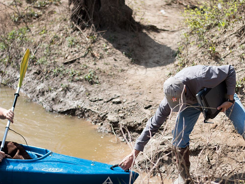
After a full morning of water quality monitoring work, Gregory helps Jonescu return the kayak to the bank. To learn more about TWRI's work on the Navasota River, visit navasota.tamu.edu.
Leslie Lee
1 of 21
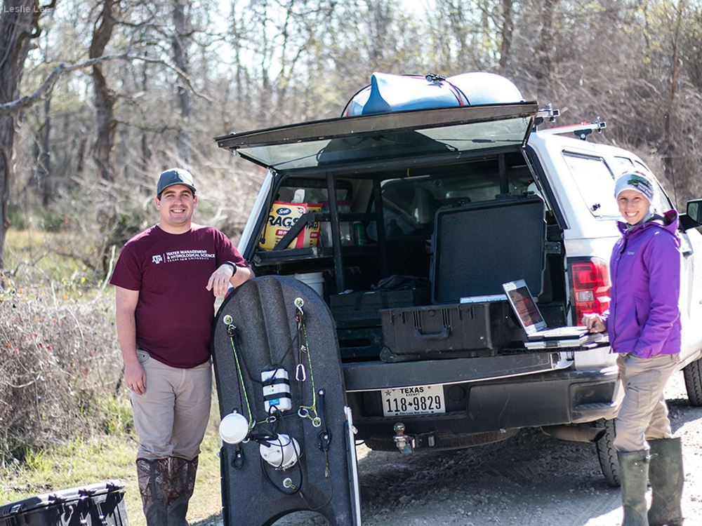
Brian Jonescu, TWRI research assistant, and Anna Gitter, TWRI graduate research assistant, preparing to monitor and sample water quality at their second site of the day on the Navasota River one March morning.
Leslie Lee
2 of 21
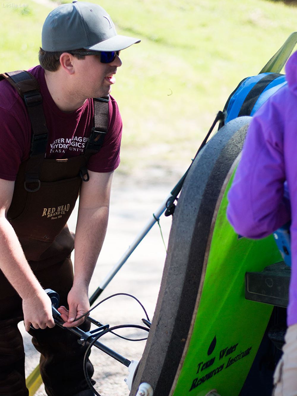
Jonescu and Gitter prepare to deploy the River Surveyor, which uses Doppler to measure the river flow.
Leslie Lee
3 of 21
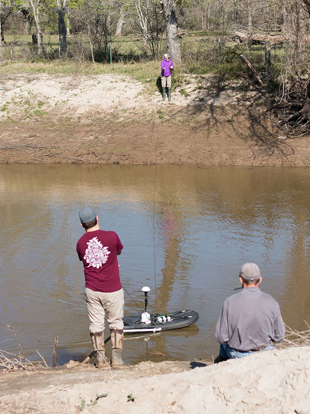
Jonescu, Gitter and Gregory measure flow in the river. The floating River Surveyor is useful when a water body is too deep to wade into.
Leslie Lee
4 of 21
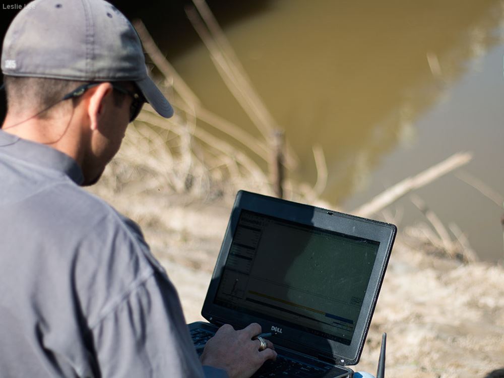
The Navasota River rises in Hill County roughly 10 miles northeast of Waco and and flows approximately 126 miles until it connects with the Brazos River 5 miles southwest of the town of Navasota. On the river bank at this water quality monitoring site, Jonescu uses the River Surveyor while Dr. Lucas Gregory, TWRI project specialist, records the flow data.
Leslie Lee
5 of 21
Gregory inputs flow data while Jonescu and Gitter use the River Surveyor to take multiple flow measurements in the river. Taking multiple flow readings provides a clearer picture of flow rates throughout the entire water body, which helps the researchers make an accurate bacteria or nutrient load estimate for the river.
Leslie Lee
6 of 21
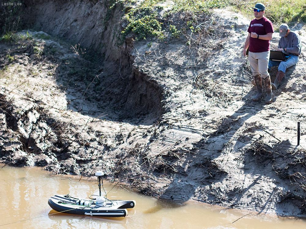
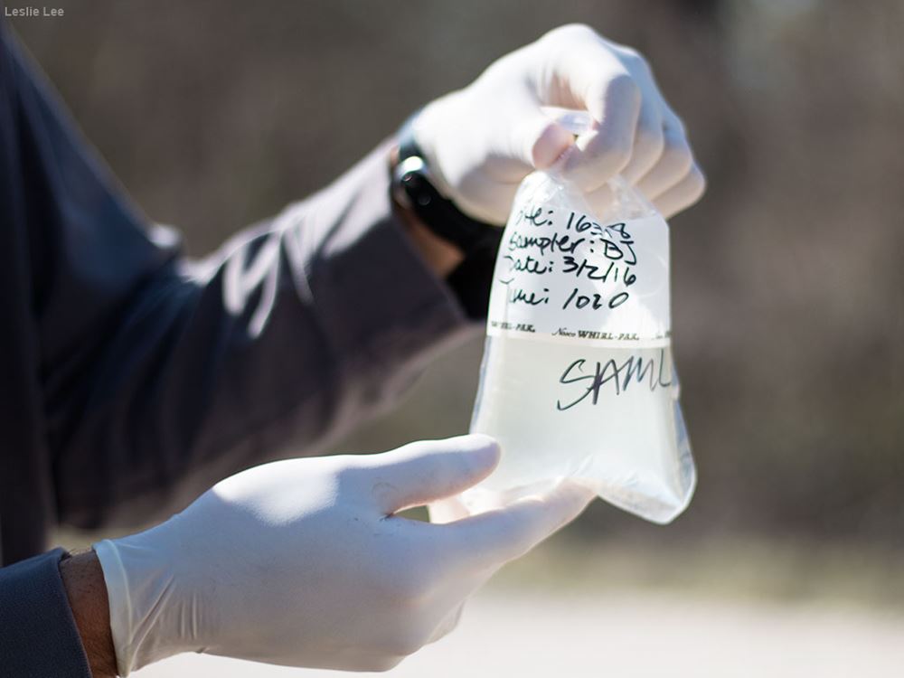
Gregory takes a water sample from the river.
Leslie Lee
7 of 21
The sample is labeled and will be delivered to an accredited lab for analysis.
Leslie Lee
8 of 21
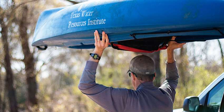
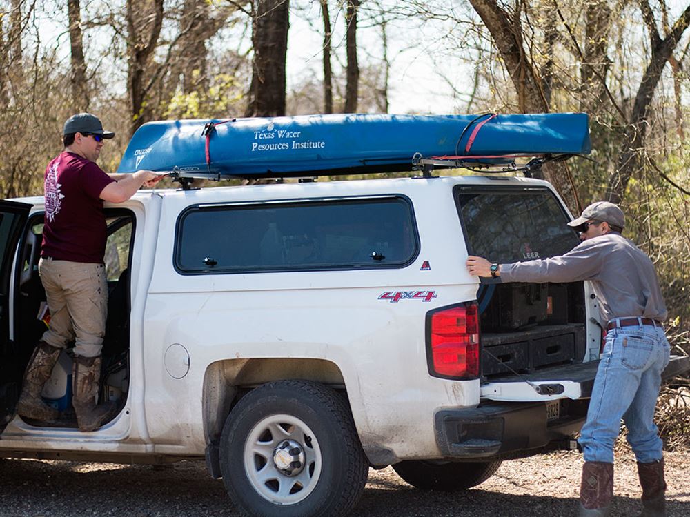
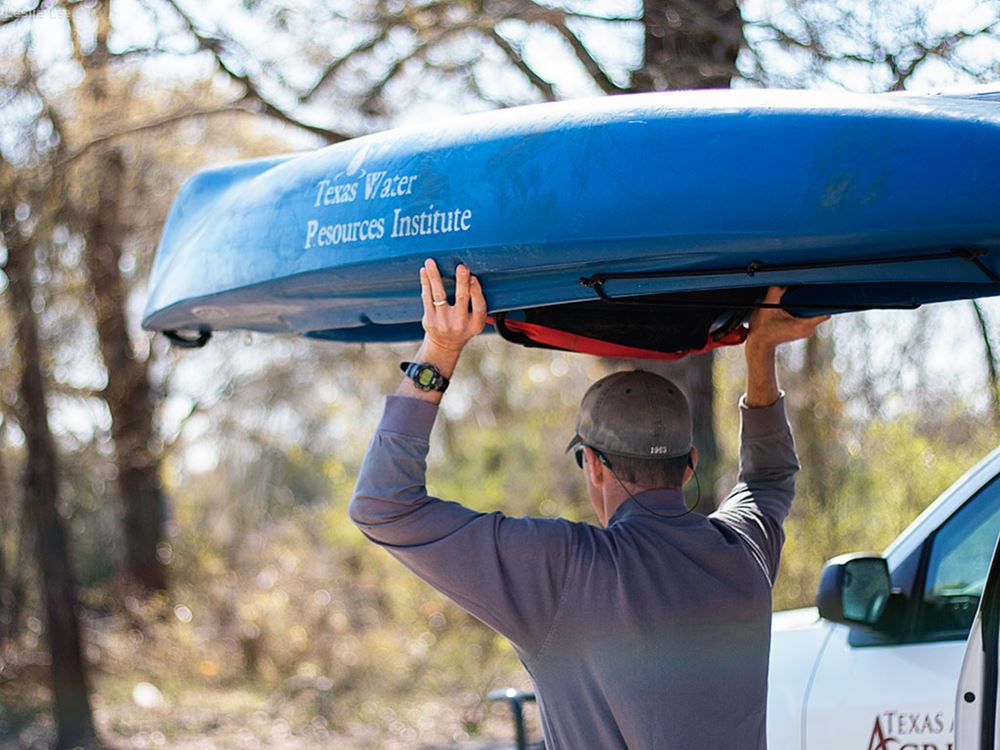
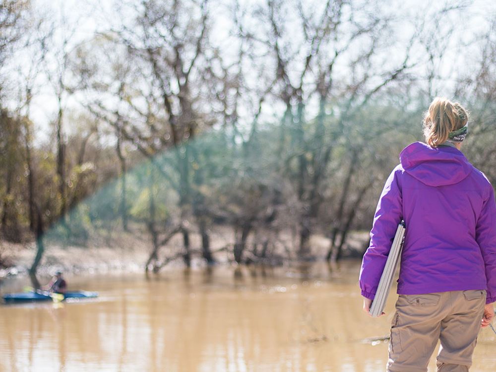
After arriving at the team's third water quality monitoring site of the day, Jonescu and Gregory unload the kayak.
Leslie Lee
9 of 21
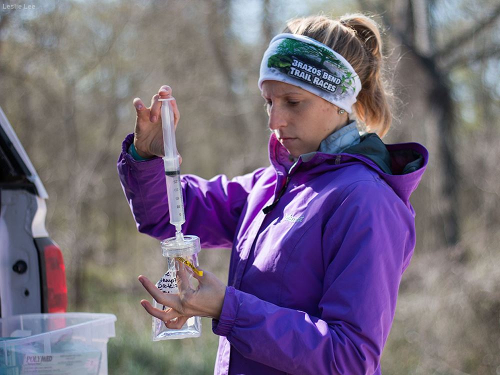
Some samples require pre-processing in the field prior to turning the samples over to the lab. Gitter filters a water sample in order to be processed for nutrients.
Leslie Lee
10 of 21
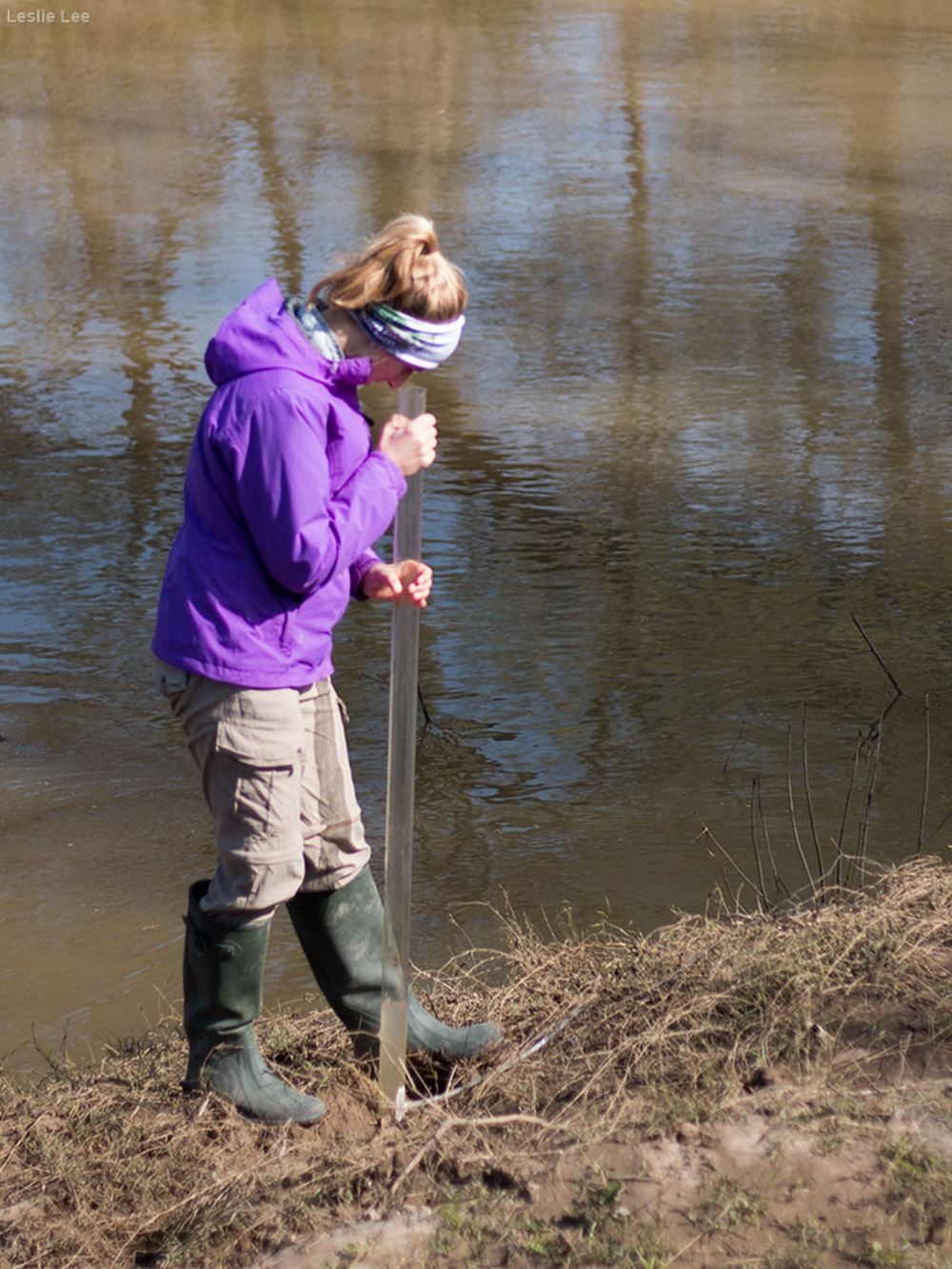
Gitter uses a Secchi Transparency Tube to determine the clarity of the water.
Leslie Lee
11 of 21
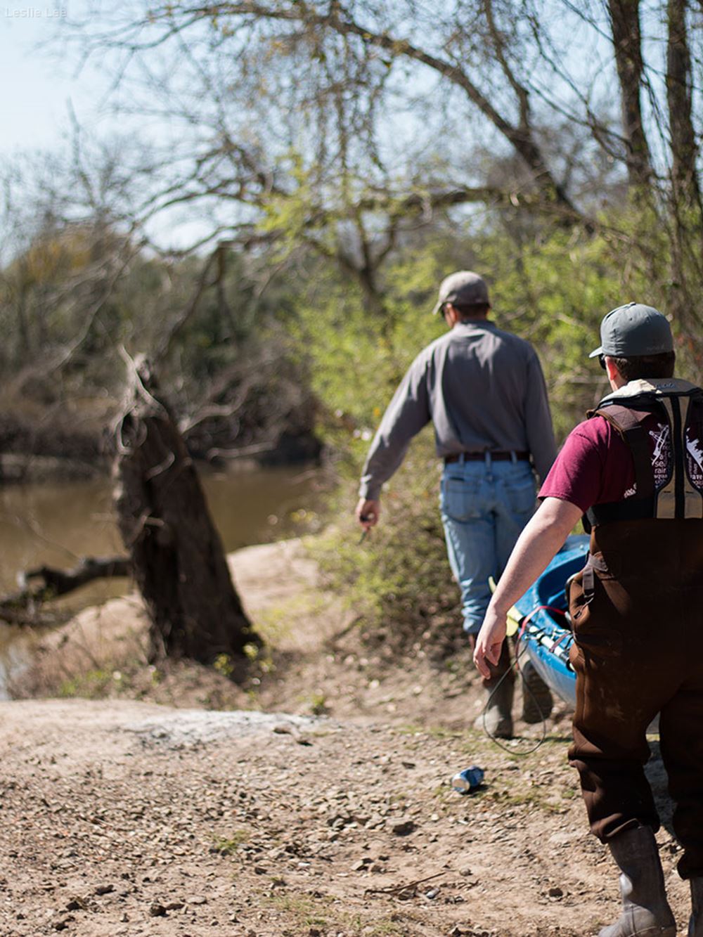
Gregory carries the kayak to the river bank.
Leslie Lee
12 of 21
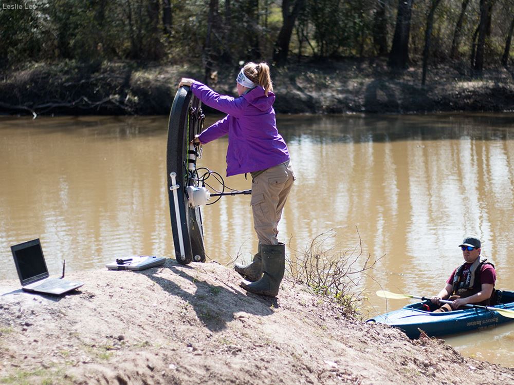
Jonescu readies the River Surveyor for the third water quality monitoring site.
Leslie Lee
13 of 21
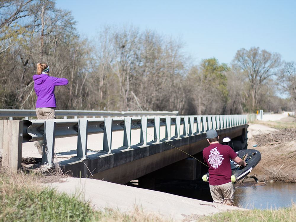
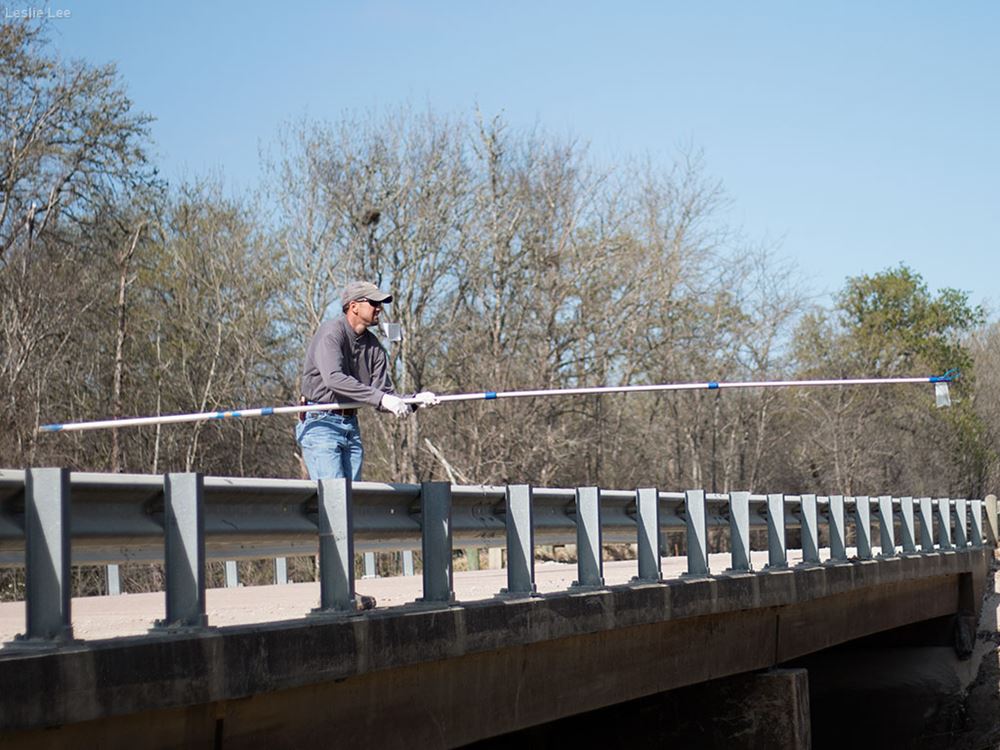
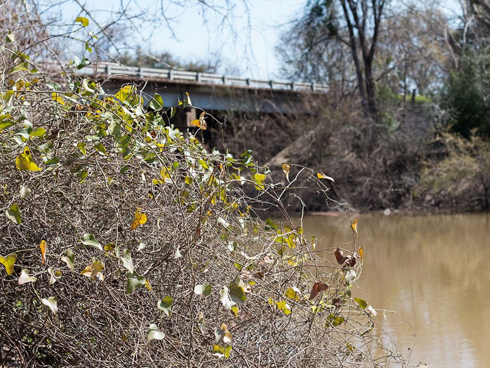
Gregory and Jonescu carry the kayak to the water quality monitoring site. Located under a busy highway bridge, this spot on the river is frequented for fishing and other recreational uses, as evidenced by the debris along the banks.
Leslie Lee
14 of 21
The kayak allows the team to safely traverse the Navasota River at this site. The bridge across the site is a narrow, heavily trafficked highway and unsafe for the team to maneuver the River Surveyor by rope. Paddling across the river in the kayak, while maneuvering the surveyor, solved the narrow-bridge problem for the team.
Leslie Lee
15 of 21
Gitter readies the River Surveyor.
Leslie Lee
16 of 21
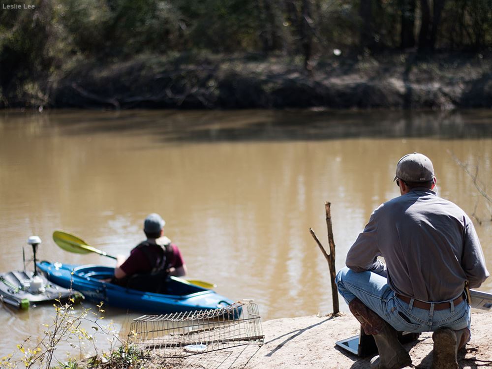
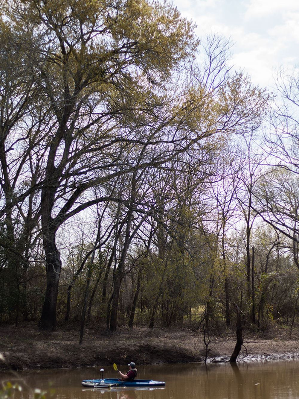
Gitter looks on as Jonescu paddles with the River Surveyor to take various flow measurements.
Leslie Lee
17 of 21
The busy and narrow State Highway 30 bridge over the Navasota River makes taking water quality measurements from the bridge an impossibility for the team.
Leslie Lee
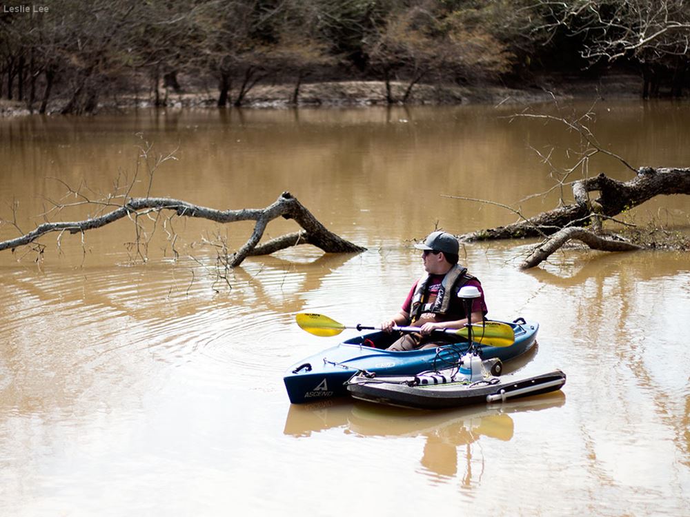
18 of 21
Jonescu paddles to different points in the river to take various flow measurements with the River Surveyor.
Leslie Lee
19 of 21
Through the Navasota River Water Quality Improvement project, TWRI is working to address bacterial impairments in the Navasota River Basin through a stakeholder driven process. Water quality monitoring over the course of two years will give TWRI an accurate picture of the river's water quality.
Leslie Lee
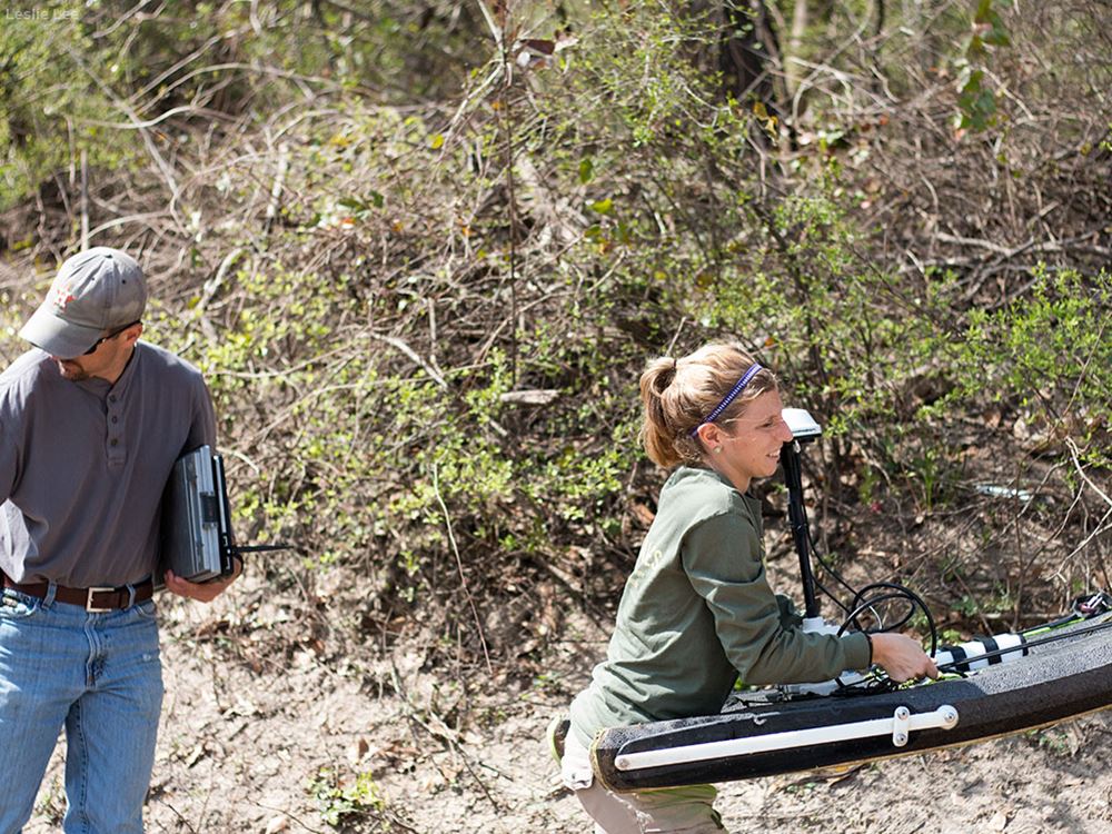
20 of 21
After the team has completed the monitoring at the site and entered the data, Gitter carries the River Surveyor back to the truck.
Leslie Lee
21 of 21