
The U.S. Environmental Protection Agency recently accepted the Lavaca River Watershed Protection Plan developed by the Texas Water Resources Institute (TWRI) and watershed stakeholders.
The plan outlines a strategy to restore water quality in the watershed, developers said.
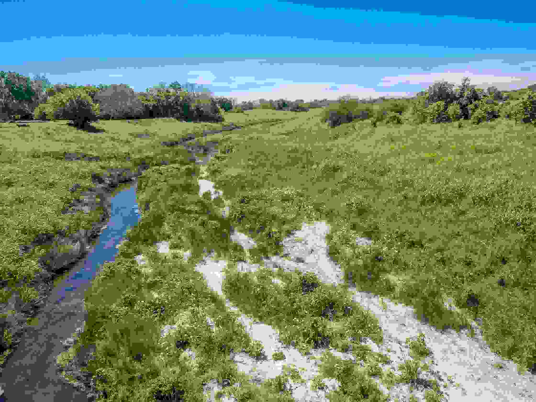
Part of the Matagorda Bay system, the Lavaca River watershed covers approximately 909 square miles in southeast Texas and is comprised of numerous smaller watersheds, including Rocky Creek, Big Brushy Creek and Dry Creek.
Michael Schramm, a TWRI research associate, said the plan meets the EPA’s national guidelines for watershed-based plans and effectively outlines a strategy to address excessive bacteria concentrations in portions of Lavaca River and Rocky Creek.
“The plan demonstrates how voluntary actions and collaboration between watershed stakeholders will mitigate pollutant sources in a way that is compatible with the goals of local businesses and landowners,” Schramm said
He said voluntary efforts by local landowners, business representatives, soil and water conservation districts, city and county personnel and many more stakeholders led to the development of this plan to improve water quality in the Lavaca River watershed.
“Without active participation from community members in planning sessions and meetings, this plan never would have materialized," Schramm said.
Dr. John Tracy, TWRI director, said the institute is pleased with EPA’s acceptance of the plan.
“The plan sets forth an approach to improve resource stewardship that allows stakeholders to rely on watershed resources for their livelihoods while also helping to restore the quality of its water resources,” Tracy said.
The watershed plan is available for download. For more information about the project, visit its website.
Development of the plan was funded through a state nonpoint source grant to the TWRI from the Texas Commission on Environmental Quality.
