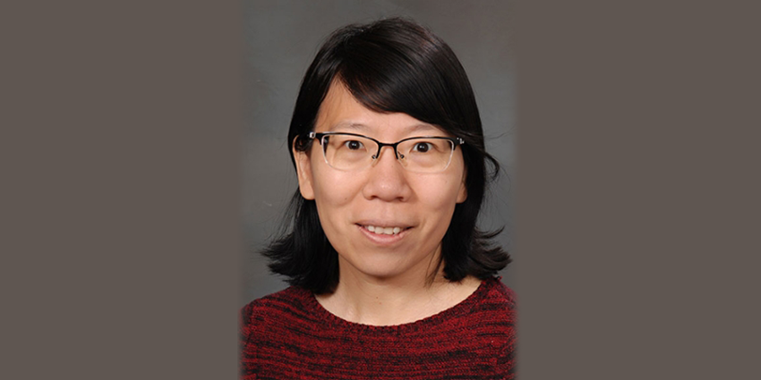
An associate professor in Texas A&M University’s Zachry Department of Civil and Environmental Engineering, Huilin Gao, Ph.D., investigates and monitors hydrologic systems using remote sensing technology.
“I first got into the field of hydrology because it’s so close to our day-to-day life,” Gao said. “I’m very interested in interdisciplinary research, and hydrology offers a more diverse perspective on everything.”
Originally from China, Gao was formally placed into her university major in college. Assigned to the atmospheric sciences department, Gao received both her Bachelor of Science and Master of Science degrees in atmospheric science from Peking University.
“After I was assigned to atmospheric sciences, I became really interested in satellite remote sensing,” she said. “I did satellite remote sensing for flooding during my master’s — that’s how I really got into hydrology.”
Remote sensing is the process of collecting information without touching or physically interacting with the object. For Gao, that involves using electromagnetic signals or reflectance to understand what is happening beyond the naked eye, such as with flooding.
“1998 was probably historically the most severe El Niño on record, so there was a lot of flooding worldwide,” Gao said. “I was put on the project by the Chinese Meteorology Administration to look at flooding in the nation.”
Gao’s use of satellites to address flooding in her master’s research piqued the interest of her future doctoral advisor at Princeton University, who was using the same technology to explore soil moisture.
Recruited in 2000, Gao attended Princeton University to continue her education in remote sensing and hydrology. Gao spent her doctoral studies researching soil moisture models using satellites.
“I used passive microwaves to look at soil moisture. When you see moisture signal changes, the surface emissivity will change, and the information collected by the satellite sensor will change accordingly,” she explained.
After receiving her doctorate in civil and environmental engineering from Princeton University in 2005, Gao spent the next seven years working as a postdoctoral researcher at the Georgia Institute of Technology and the University of Washington.
Gao joined the Texas A&M Zachry Department of Civil and Environmental Engineering in 2012, focusing her research on water availability and streamflow changes in Texas river basins.
“My current research interests involve surface water, like lakes, reservoirs and wetlands,” she said. “My research group looks at reverse peak flow changes and how flooding and water availability will change in the future due to climate change.”
Gao uses satellites to map changes in the surface area of water bodies. When the surface area is known, changes in storage capacity can be calculated. Gao explained that while we need water from these reservoirs the most during dry seasons, that is also the time where evaporation is highest.
“I am working on a project to develop a daily reservoir evaporation monitoring network where all the data can be accessed in real time. So, for Texas’ 188 reservoirs, we can create long-term records.”
Gao explained that these long term-records can be used in predictive mitigation efforts for future impacts of climate change on surface water availability.


