
Six publications analyzing the water use of the crop and livestock industry in the Southern Ogallala Aquifer region have been completed by Texas A&M AgriLife Extension Service specialists.
Water use in the southern Ogallala region has greatly exceeded the recharge rate for the past several decades, leading to a steady decline in the aquifer, said Dr. Steve Amosson, Regents Fellow and AgriLife Extension economist in Amarillo.
This decline and water use in the agricultural sector had many stakeholders questioning whether the economic benefits to the region’s economy justified the agricultural operations water use, Amosson said.
The objectives of the study, supported by the federally funded Ogallala Aquifer Program, was to evaluate the impacts the various agricultural sectors are having on the Ogallala Aquifer, both in water use and economic impact, he said.
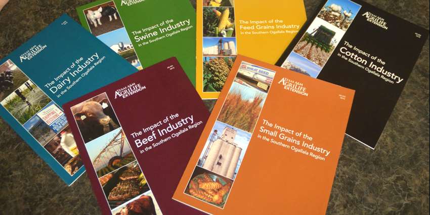
The publications outline the beef, swine, dairy, small grains, feed grains and cotton sectors in the region, he said.
All six publications, which include in-depth results and analysis of each of the industries, can be found in the Texas A&M AgriLife Extension Bookstore. They can be downloaded free or hard copies can be purchased for $5 each.
“The water use of the agriculture sector is substantial but so is the economic impact,” Amosson said. “It is important to realize the economic impact on the area far exceeds the individuals directly involved in the production. Several satellite businesses have been attracted to the region because of these production sectors including fertilizer dealers, cotton gins, feed dealers and packing plants to name a few, which adds to the impact.”
Contributing to the studies are Dr. Bridget Guerrero, former AgriLife Extension program specialist and now a West Texas A&M University assistant professor; various AgriLife Extension specialists; and commodity organizations.
The region is semiarid, primarily dependent on the Ogallala Aquifer for water. The aquifer stretches from the Dakotas to the southern plains of Texas and comprises approximately 174,000 square miles. The Southern Ogallala Region is defined in this study as the 97,000 square miles of the aquifer from the northern border of Kansas to just north of the Midland-Odessa area and includes parts of five states.
The region consists of 19.7 million acres of cropland and more than 6.4 million acres enrolled in the Conservation Reserve Program; the rest is rangeland. Of the cropland, 7.3 million acres are irrigated and 12.4 million acres are dryland. The primary irrigated crops grown in the region are corn, wheat, cotton and sorghum.
Read the complete AgriLife Today story.