Article originally written by Madison Pigg
Texas aquifers have more straws removing water from them today than ever before. Thankfully, decision-makers and landowners also have access to critically important groundwater quality and quantity data more than ever before, because of the federal-, state- and county-based agencies that have been collecting groundwater data for decades.
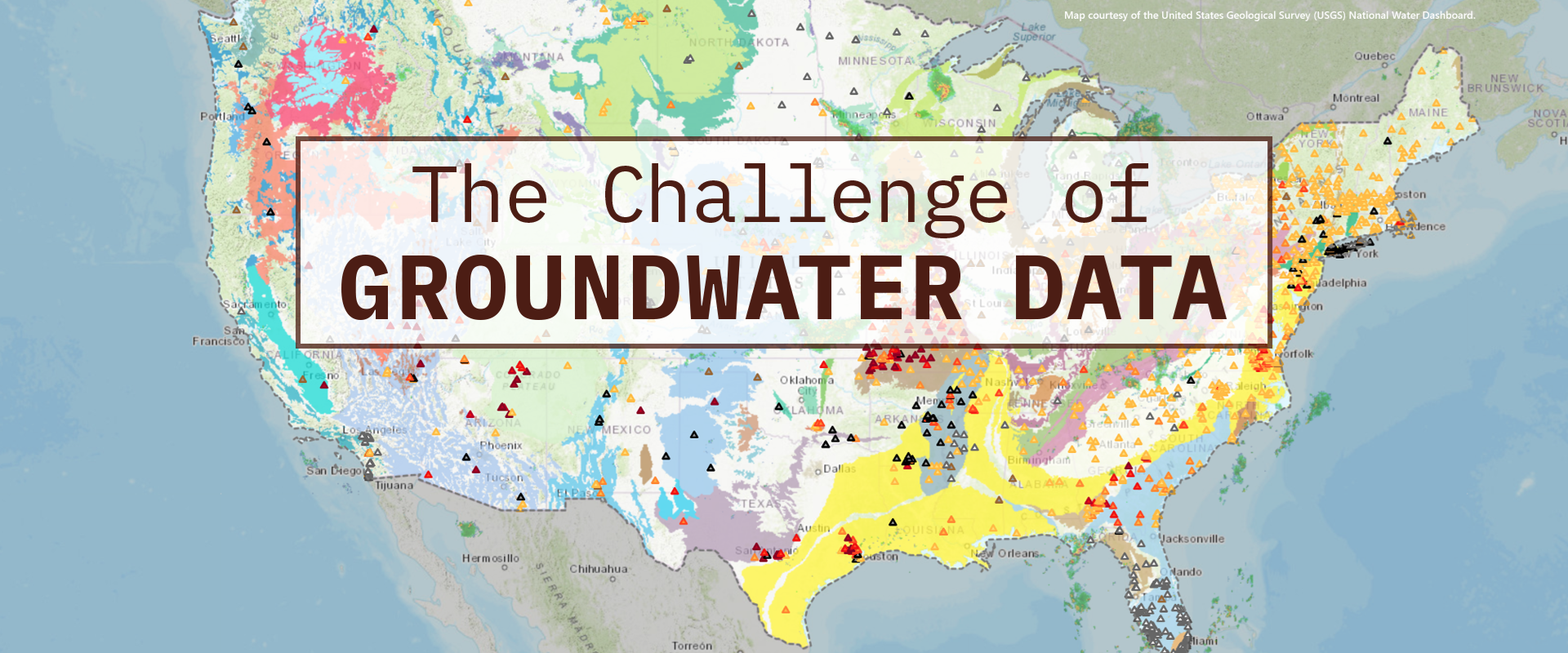
The U.S. Geological Survey (USGS) is the federal agency responsible for measuring hydrologic and hydrogeologic data across the nation and in Texas. Groundwater level and groundwater quality data can be found on the National Water Dashboard at tx.ag/usgsnwd.
The Texas Water Development Board (TWDB) is the state agency responsible for storing groundwater data in Texas, and TWDB teams also collect groundwater quality and quantity data. At the local level, groundwater conservation districts (GCDs) collect the majority of groundwater level data and submit it to TWDB for inclusion in their Groundwater Data Viewer at tx.ag/TWDBviewer.
“The Texas Water Development Board is an amazing state agency that serves as a clearinghouse for data and a resource for managing the technical side of issues with aquifers, groundwater and surface water,” said Brian Hunt, a geologist and hydrogeologist for the Bureau of Economic Geology at the University of Texas at Austin. The TWDB database provides a consistent and accessible platform to obtain groundwater data throughout the state.
Estimated reading time: 5 minutes
Collecting, storing and sharing Texas groundwater data is critically important and incredibly complicated
More Information
- National Water Dashboard, U.S. Geological Survey
- Groundwater Data Viewer, Texas Water Development Board
Want to get txH20 delivered right to your inbox? Click to subscribe.
“The better the data, the better the science; the better the science, the better the planning,” said Heather Dodson, data team lead in TWDB’s groundwater technical assistance department. That is what TWDB strives for, and collecting this data, even when difficult, is worthwhile for the health of the state’s groundwater resources, she said.
The massive amount of groundwater data collected across Texas can be difficult to work with, Hunt said. Texas groundwater scientists and decision-makers navigate a patchwork of overlapping agencies with different authorities and priorities, all with varied methods of data collection and databases, he explained. Each agency has different methods, tools and protocols to collect the data, which have all evolved. Thus, compiling the data into databases can be a challenge.
Throw in the landscape’s widely variable hydrogeology, and the picture of groundwater in Texas can seem about as clear as mud.
How groundwater data is collected
According to Dodson, TWDB groundwater data methods to measure the water level (head) in flowing wells include steel tapes and chalk, electric lines (E-lines), pressure transducers and pressure gauges. TWDB also performs water quality monitoring, sending the collected groundwater samples to a lab for testing.
Many GCDs and TWDB have a recorder program that provides real-time, automatic well readings and sends recurring reports on water levels in various locations.
TWDB has a robust network across the state, and these measurements are valuable because they track both short- and long-term trends in water quantity, giving local residents and city and state officials key information for water-related decisions.

For example, GCDs may use this information to make drought declarations or permitting decisions.
“I encourage landowners that data can be their best friend,” said Trey Gerfers, general manager of the Presidio County Underground Water Conservation District in Far West Texas.
“If you don’t know when and if your levels are fluctuating and you don’t have that data over long periods, then you don’t know what’s happening with your water supply.”
Trey Gerfers
“It’s the best way available to ensure landowners’ rights in groundwater,” he said. “If you don’t know when and if your levels are fluctuating and you don’t have that data over long periods, then you don’t know what’s happening with your water supply.”
Dodson and TWDB teams share with landowners the benefits of data collection and cooperating with TWDB and local GCD programs. If a landowner has a well that can fill a data gap in TWDB’s monitoring network, TWDB may ask to add that well to its network, at no cost to the landowner. TWDB collects groundwater quality samples representative of every region in the state on a four-year cycle, but their current funding level does not support state-wide water quality sampling year-round.
Monitoring natural springs is another groundwater data point that TWDB stewards.
“We’ve been monitoring water quality for springs for many years, but we’ve started a new initiative for a dedicated Springs Monitoring Program to add spring flow data to our monitoring program,” Dodson said. “This initiative is now going on its fourth year.”

Drone image of a streamflow measurement taken in the Devils River upstream of the Devils River State Natural Area (Del Norte),
in Val Verde County. Photo by Tyson McKinney.
Data through the decades
Since it was created by the Texas Legislature in 1957, TWDB has been involved in documenting groundwater levels and establishing a central source for that data. The TWDB Groundwater Data Viewer does not contain every water well ever drilled in Texas, because it is a scientific database to assist with regional groundwater planning and provide site specific data for local groundwater management. It contains information on selected water wells, springs, oil/gas tests that were originally intended to be or were converted to water wells, water levels and water quality.
A separate database exists for wells being drilled in Texas, Hunt said. Water well drillers are now required to submit a report for every water well drilled, and that information is accessible using the TWDB Groundwater Data Viewer. This database has every single new well drilled since 2003. It is important for this inventory process to continue so that scientists can see how well data changes over time from these new wells, Dodson said.
“For folks dependent on groundwater, collecting long-term data is really in our best interest.”
Trey Gerfers
Wells established before 2003 are generally not within the well driller’s database and can be more difficult to locate, access and find well information for. This is the challenge for many GCDs trying to account for the pumping within a given area, Hunt explained.
As climate impacts, population growth and land use changes continue to shape Texas, scientists like Dodson and Hunt, and local groundwater experts like Gerfers, will continue putting in the work to build reliable groundwater datasets to help Texans protect groundwater supplies for future generations.
“Out here in Far West Texas, self-reliance and independence is a way of life, but I think that showing folks how it benefits them to have their wells’ water level data on hand does make a difference,” Gerfers said. “For folks dependent on groundwater, collecting long-term data is really in our best interest.”
