Article originally written by Madison Pigg
Using technology in orbit, scientists are examining Earth’s soil moisture and water resources.
Soil moisture data is a key indicator for drought and flood forecasting, agricultural monitoring, forest fire prediction, water supply management and other natural resources activities.
Binayak Mohanty, Ph.D., a Regents Professor at Texas A&M University, has been a leading soil moisture researcher for decades. Partnering with NASA-funded satellite technology, he has led soil moisture multi-scale data collection and analyses at Texas A&M for years.
Mohanty serves on the Department of Biological and Agricultural Engineering faculty, is the Texas A&M College of Agriculture and Life Sciences Chair in Hydrological Engineering and Sciences and leads a team of scientists and graduate students in Texas A&M’s Vadose Zone Research Group (VZRG).
Meet the vadose zone
The vadose zone is the layer of earth that lies between topsoil and groundwater, located above the water table. Also known as the critical or unsaturated zone, the vadose zone is always changing and shifting; it is intrinsically dynamic because it’s unsaturated.
Accurately measuring vadose zone moisture on a fine scale is key to scientists improving water conservation technology, mitigating drought impacts, understanding how water contaminants move, predicting floods, and making sustainable advances in agriculture.
Estimated reading time: 4 minutes
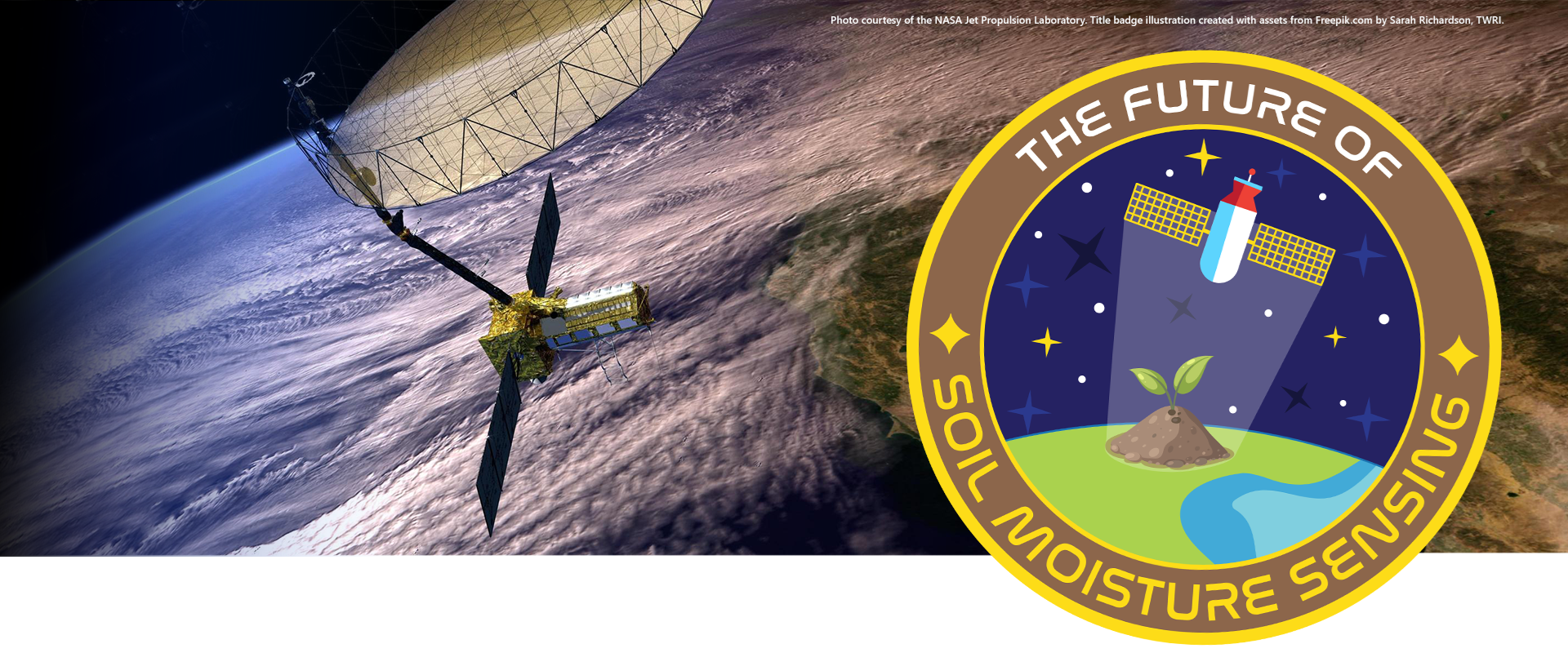
Partnering with NASA, Texas A&M’s Binayak Mohanty uses out-of-this-world tech to answer under-our-feet questions
More Information
- Unlocking the Secrets of the Vadose Zone, txH2O
- Texas A&M Vadose Zone Research Group
- Passage of Water, Yiyun Kang, Ph.D. in collaboration with NASA and Google Arts & Culture
Want to get txH2O delivered right to your inbox? Click to subscribe.

Tackling this dynamic environment, VZRG began using NASA satellite data in 2002 to study the numerical modeling of hydrological processes, soil bio-geo-chemistry, scaling issues in hydrology and multi-scale observations and measurements.
Mohanty said the group’s current primary focus is remote-sensing soil moisture data, made possible by imagery from state-of-the-art NASA satellites, such as the Soil Moisture Active Passive (SMAP) satellite.
Launched in 2015, SMAP provides global updates on soil moisture every 2-3 days and helps create predictions for future droughts, floods, ecosystem health and weather patterns. Other Earth-observing satellites provide additional groundwater, surface water and evapotranspiration estimations, such as Gravity Recovery and Climate Experiment (GRACE) and Surface Water and Ocean Topography (SWOT), as well as the Moderate Resolution Imaging Spectroradiometer (MODIS) instrument aboard the Terra satellite.
Assimilating the data from these satellites, the researchers then calculate regional water budgets and their spatio-temporal variabilities and uncertainties for various hydrologic, agronomic, and environmental applications, Mohanty said.


New satellite opens doors for innovative groundwater research
NASA is partnering with the Indian Space Research Organization (ISRO) to launch a new satellite: the NASA-ISRO Synthetic Aperture Radar Mission, or NISAR, scheduled to launch in October 2024.
This satellite will be used to measure Earth’s changing ecosystems, dynamic surfaces and ice masses, providing information about biomass, natural hazards, sea level rise and groundwater, and it will support many other applications, Mohanty said. High-resolution spatial data measured at two frequencies by the radar will not only help track groundwater availability but also aquifer recharge rates, or how fast rainfall moves through sediment and rock layers into the aquifer pool.
Using NISAR, scientists will be able to track groundwater movement and changes. Decision-makers could use this data to manage groundwater supplies, avert overdrawn aquifers and prevent subsidence, or the gradual sinking of land surface over time.
Using NISAR, scientists will be able to track groundwater movement and changes. Decision-makers could use this data to manage groundwater supplies, avert overdrawn aquifers and prevent subsidence, or the gradual sinking of land surface over time.
This insightful new data can help city officials and scientists plan urban development that won’t cause subsidence. NISAR data will also benefit coastal populations, helping researchers map shoreline changes, ocean currents, wind velocities, ship locations and oil spills.

NISAR satellite
Photo courtesy of the NASA Jet Propulsion Laboratory
NISAR and Texas A&M
VZRG will be using NISAR soil moisture data to study agricultural water management, ecosystem health, hydrologic predictions including flash floods and flash droughts, and feedback between land and atmosphere for a better understanding of global water, energy and carbon cycles at multiple space and time scales.
Mohanty said that the satellite will scan nearly all of Earth’s land and ice twice every 12 days, and new data will be available each time it makes an orbit around the Earth.
“Our goal for this research is not only to account for Earth’s water resources while the NISAR mission will be in orbit, but also to develop a foundational understanding of water cycle processes to help formulate long-term solutions to global water-related challenges.”
Binayak Mohanty, Ph.D.
This will provide high-resolution data about surface water and groundwater for even the most remote places, helping scientists detect problems, such as subsidence, without traveling or relying on sparse well data. It will also centralize the measurements, enabling more accurate and accessible information sharing.
It is immensely important to document these changes over time, he said. The groundwater and surface water data can help predict future weather patterns and natural hazard potentials. NISAR will also track and detect floods even when vegetation makes floodwaters difficult to view. Flood damage is a multi-billion-dollar problem around the United States and globally, and NISAR could enable greater flood detection and preparedness, protecting lives and economies.
“Our goal for this research is not only to account for Earth’s water resources while the NISAR mission will be in orbit, but also to develop a foundational understanding of water cycle processes to help formulate long-term solutions to global water-related challenges,” Mohanty said.
