By Leslie Lee
Why would San Antonio residents care enough about rural land in the two counties west of their city to vote tax dollars toward conserving it? Why would the city of Austin work to protect valuable nearby land from lucrative economic development? And, why should the average urban Texan give a second thought to the quality of the open spaces surrounding them?
The answers lie in the science.
There is a strong connection between the health of our rural lands and the health of our cities.
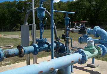
When rain falls in much of Medina and Uvalde counties, water seeps underground into the Edwards Aquifer and flows from west to east, eventually entering the portion of the aquifer on which San Antonio’s 1.3 million residents largely depend. In Austin, iconic Barton Springs and its segment of the Edwards rely on groundwater recharge from surrounding rural lands — recharge that could be severely diminished or contaminated if those lands are overdeveloped.
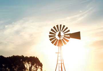
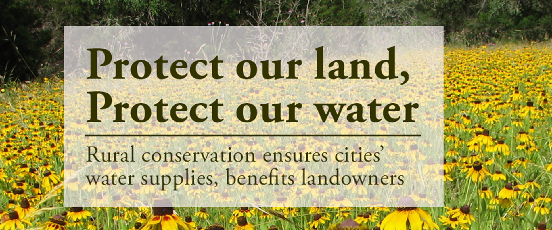
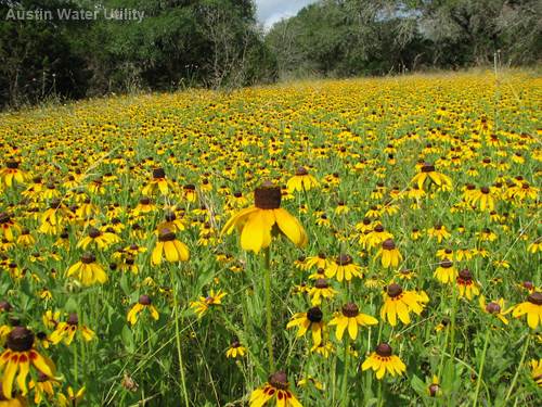
All across Texas, private, rural lands collect most of the rainfall the state receives, and it then flows to both groundwater and surface water supplies. Stewardship of this land helps provide not only water but also clean air and open spaces to urban populations.
“There is a strong connection between the health of our rural lands and the health of our cities,” said Blair Fitzsimons, chief executive officer of the Texas Agricultural Land Trust (TALT).
With this connection in mind, some water providers in Texas are investing in land conservation strategies usually associated with environmental groups or rural conservation organizations, and urban residents are supporting the work with votes, tax dollars and volunteer hours.
San Antonio voters bet on the land
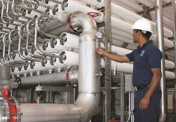
When San Antonians watch the evening news, the daily aquifer level update is always part of the weather report. Many residents are well aware that the state of the Edwards Aquifer not only affects their landscape watering schedule but also the city’s ability to sustain water supplies for an ever-increasing population.
Local voters’ knowledge of groundwater’s critical importance is why three land conservation propositions in the past 14 years have all passed, authorizing up to $225 million in sales tax revenue to be used to protect land in the aquifer’s recharge and contributing zones, said Grant Ellis, special projects manager for the city’s Edwards Aquifer Protection Program.
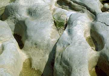
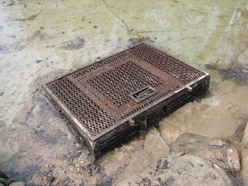
The term recharge zone refers to the land where water from the surface actually seeps down into the aquifer, and the contributing zone is the area where rainfall flows to the recharge zone. Because the Edwards Aquifer’s geological makeup makes it both very vulnerable to pollution through its porous limestone layers and relatively quick to recharge its supplies with rainwater, the program protects both water quality and quantity.
In 2000, the first proposition authorized the program with $45 million, which enabled the purchase and protection of 6,500 acres in growing Bexar County, where real estate prices were higher than other counties.
Easements can be a win-win for all parties involved: the aquifer is protected, while the landowners can continue operating their land for farming, ranching or wildlife—basically how they have always managed it—and have a new tool to help hold their families’ land together for future generations.
“After that first proposition, officials and concerned citizens got together and said: ‘How can we extend this program, and how can we protect a little bit more of the recharge zone in a more effective and efficient manner?’” Ellis said.
City officials had a two-fold solution: look to neighboring rural counties that heavily contribute to recharging the aquifer and start using conservation easements instead of acquisitions there. A conservation easement is a perpetual legal agreement that allows landowners to retain title and management of their property, while forfeiting, donating or selling certain development rights to protect the land from commercial or residential development.
In San Antonio’s program, the city essentially purchases the landowners’ development rights. Easements can be a win-win for all parties involved: the aquifer is protected, while the landowners can continue operating their land for farming, ranching or wildlife — basically how they have always managed it — and have a new tool to help hold their families’ land together for future generations, Ellis said.
“And, that’s what many of these folks really want, so it’s a residual benefit of the program,” he said. “We’re protecting the open space for recharge purposes, and the landowners get to keep their land intact.”
With this new strategy in place, he said, the next two propositions passed in 2005 and 2010, each allowing the program to collect up to $90 million in sales tax revenue to protect land in three counties — Bexar, Medina and Uvalde. To date, the program has acquired or placed conservation easements on 119,847 acres of land in the aquifer’s recharge and contributing zones.
“It’s been wildly successful in terms of the public response,” Ellis said. “About 70 percent of the water that San Antonians end up using from the Edwards originates in Medina and Uvalde counties, and I think that the voters just get it. San Antonians understand why the Edwards is such an important resource and why we need to protect it.
“So, with that basic understanding, we are able to ask ‘is this important to you?’ and time and time again, the voters have said ‘yes.’”
Conserving high-priority properties
Unique among Texas aquifers in how it functions, the highly permeable Edwards recharges much quicker than other aquifers, which can take hundreds or even thousands of years to recharge. In the recharge and contributing zones, streams and rivers, as well as karst features such as caves or fractures, are sensitive areas that have high permeability, and therefore protecting lands with those features is a priority, Ellis said.
The protection program, Ellis said, has always been science-based. It uses geospatial modeling and ground geological assessments to identify priority and sensitive recharge areas.
“Our geospatial model is based on the hydro-geology, permeability, biological components, location and size of a property,” he said.
Any risk of future development is also a major consideration when looking at properties, Ellis said. Development in Uvalde and Medina counties is different than that in Bexar. Though the development in these two counties involves more small-acreage ranchettes than shopping malls, he said, it still affects the aquifer by bringing increased impervious cover and septic tanks.
It is solely the landowners’ prerogative whether they wish to negotiate a conservation easement on their land, Ellis said. Landowners who are open to it then work with the program’s Land Acquisition Team, led by the Green Space Alliance, a local land trust, and the Nature Conservancy, a worldwide organization, through the rest of the process: property appraisal, conservation easement negotiations and final agreement and payment.
“We sit down with the landowners and discuss the property’s value as it would be with the conservation easement and what the city is willing to pay — and that’s a set price determined by a certified Texas Real Estate Land Appraiser familiar with conservation valuations,” Ellis said.
Every easement is different, because each landowner and property is unique, and the agreements are tailored to their needs, he said. Future commercial or residential development rights are forfeited, but some agreements maintain limited development rights, such as building a small number of additional homes on the land. No-development zones are included in agreements for properties that contain extra-sensitive features, such as sinkholes, streams or springs.
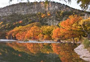
Barton Springs inspires Austin program
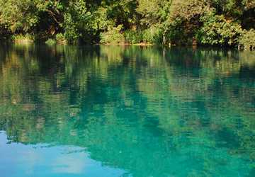
A collection of such springs, located about 80 miles north of San Antonio, moved the city of Austin to also strategically protect land. The Barton Springs segment of the Edwards Aquifer stores and moves water from near the town of Kyle, north to its major discharge, Barton Springs, which is located in the middle of Austin, said Dr. Kevin Thuesen, environmental conservation program manager for Austin Water Utility’s Water Quality Protection Land program.
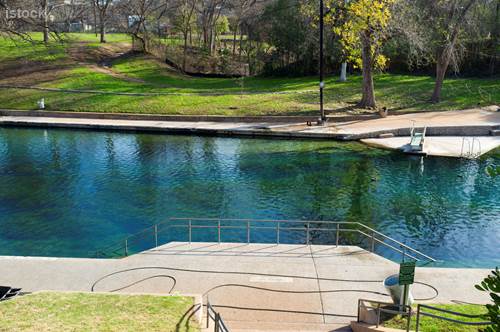
Not only does the segment contribute to the city’s water supplies, but Barton Springs itself is an Austin landmark. Located in Zilker Park, the Barton Springs pool covers three acres and has an average temperature of 70 degrees, drawing around 800,000 visitors every year, according to city officials. It contains the federally listed endangered Barton Springs salamander, as well as the Austin blind salamander, a candidate species for listing, and is a federally protected habitat.
Motivated by protecting both the iconic springs pool and the city’s water supplies, in 1998 Austin voters approved bonds for purchasing and conserving land in the segment's watershed for water quality protection, Thuesen said. The resulting Water Quality Protection Land program acquires land using both purchasing and conservation easements. The program’s goal is to produce the optimum level of high-quality water from project lands to recharge the Barton Springs segment, he said.
Following additional bond measures passing again in 1998, and then in 2006 and 2012, today the program includes more than 26,000 acres of land — 17,000 acres in conservation easements.
“I think Barton Springs has always been this natural, wonderful thing that citizens have always loved and rallied around and have wanted to protect,” Thuesen said. “It wasn’t a surprise that voters were in favor of conserving these sensitive lands that are frequently beyond the city limits and thus beyond ordinances that might otherwise help to protect them.”
Similar to San Antonio’s program, Austin only protects land in the Barton Springs segment’s recharge and contributing zones, which cover about half of Travis and Hays counties. They’ve carefully identified where the water that flows into Barton Springs originates, Thuesen said.
“And, the land we’ve acquired or acquired easements on is frequently connected. We can have more positive impacts if the land is contiguous.”
The Austin program also uses geospatial models and a variety of other factors to identify sensitive lands and offers acquisition or conservation easement agreements to willing landowners. Personnel are equipped with GIS (geographic information systems) software on mobile phones to do field work more efficiently, such as geological surveys and compliance plans, Thuesen said. They also provide technical and land management assistance as requested to landowners with conservation easements.
“Easements work really well for landowners who just really love the land and want to stay on it,” he said.
Protecting lands through easements and conservation management can benefit both the quality and quantity of water in the Barton Springs segment, Thuesen said. However, benefiting both can be a difficult balance.
“We must protect the aquifer from poor water quality, but also make sure it continues to get enough water,” he said. “Our land restoration work also helps protect water quality and quantity. We’re trying to restore the ecosystems back to their native savannas and prairies, using tools like prescribed fire.”
Although the water utility-owned lands are not parks, Thuesen said, there are public trails on two of the properties, and the public frequently visits the lands for educational events as well as volunteer work days for restoration efforts and many weekend events held throughout the year.
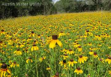
“Open space is also a big priority for people in Austin,” he said. “It’s one of the things that make Austin Austin, and it’s one of the reasons why people want to come here.”
Easements can be mutually beneficial
Open spaces and water supply protection are just two of the many positive impacts that rural lands provide to Texans, said TALT’s Fitzsimons.
“Rural working lands, such as farms, ranches and timberland, provide essential benefits that people who live in cities rely on, including drinking water, clean air, open space, storm-surge buffers and carbon sequestration,” she said. “Some people call those ecosystem services; we call them public benefits provided by private lands.”
TALT began protecting rural working lands in 2007, when leaders in agriculture and wildlife sectors came together to address the growing issue of land fragmentation in Texas.
“This group felt that landowners needed an additional tool to be able to deal with fragmentation and loss of land,” Fitzsimons said. “We started exploring conservation easements, which had really been more of a tool used by the environmental community to protect habitat and species.”
The land trust now has about 225,000 acres under easements. Fitzsimons said these agreements appeal to many landowners because retiring the commercial and residential development rights effectively decreases the value of the land, which helps landowners and their heirs pay estate taxes. Because the land value decreases, the estate taxes are much lower. Owners also appreciate the opportunity to ensure that their family’s land will remain intact, she said.
A strategy for the future
Incentivizing rural land conservation in order to protect natural resources for all Texans should be a strategy used more often in the future by policy makers, Fitzsimons said.
Programs such as those used in San Antonio and Austin have proven effective, but finding funding sources can be difficult, she said. And, although those cities’ land conservation programs are ultimately aimed at groundwater, similar strategies could protect surface water sources.
Open space is also a big priority for people in Austin. It’s one of the things that make Austin Austin, and it’s one of the reasons why people want to come here.
“When it rains in Texas, which it hasn’t very much recently, but when it does rain, that rain falls predominately on privately owned land,” she said. “We want to find ways to incentivize the continued stewardship of those watersheds and streams and rivers that provide those water resources, because how that land is managed is really critical to those of us who live in the cities.”