
By Amy Buice and Kathy Wythe
If Texans knew the threat that rural land loss and fragmentation posed to their water supplies and recreational activities, would they be more willing to protect those lands and would decision-makers be more likely to support financial incentives for the conservation of those lands?
Through Texas Land Trends, the Texas A&M Natural Resources Institute (NRI) is striving to draw clear connections between such threats and their effects by consolidating and analyzing data about property values, land use, land ownership size and population growth.
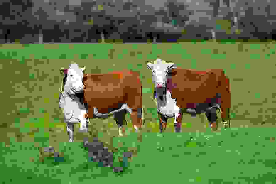
This data is used to provide timely information to support the conservation of Texas working lands, said Dr. Roel Lopez, NRI director. Working lands, he said, are privately owned farms, ranches and forests that produce food and fiber, support rural economies and provide wildlife habitat, clean air and water and recreational opportunities.
“Since its inception nearly two decades ago under the leadership and vision of former NRI Director Dr. Neal Wilkins, the Texas Land Trends report has been used in guiding conservation efforts and natural resource policy development,” Lopez said. “Texas Land Trends has evolved from a paper-based report to an interactive website and database allowing users to query data and better understand changes in Texas’ rural landscapes.”
Blair Fitzsimons, Texas Agricultural Land Trust (TALT) chief operating officer, said the project provides a valuable source of information for anyone in the natural resources community. “Texas Land Trends is a critically important data source for policymakers, conservation organizations, state agencies and federal agencies in terms of looking at what is happening to our land base in Texas,” said Fitzsimons, who has been involved in the development of Texas Land Trends for years.
Since its inception nearly two decades ago under the leadership and vision of former IRNR Director Dr. Neal Wilkins, the Texas Land Trends report has been used in guiding conservation efforts and natural resource policy development.
Texas Land Trends compares the U.S. Department of Agriculture’s (USDA) National Agricultural Statistics Service’s Census of Agriculture data, published every five years, to the same period of the Texas State Comptroller of Public Accounts’ land use and land value data, said Kevin Skow, NRI’s geographic information systems laboratory manager. Other data used is from the U.S. Census Bureau, USDA National Resources Inventory and the U.S. Department of Commerce/Bureau of Economic Analysis–Regional Economic Information System.
To make the information easier to understand, Texas Land Trends uses maps to visualize trends. “Land Trends involves a lot of facts and figures, so we use maps, trends visualizer tools and land trends comparisons to supplement the detailed reports,” Skow said.
The interactive website (texaslandtrends.org) also allows users to compare specific regional and statewide trends, such as population increases between two difference ecoregions or land market values in a particular river basin to the rest of the state, Skow said.
NRI has recently analyzed the 2012 data and published the first in a series of reports based on the new information. Status update and trends of Texas rural working lands (Vol. 1, No. 1) is a five-year trends update of Texas rural working lands. Other reports will examine the status of Texas lands from the perspective of key issues, such as water and energy.
The new data will be incorporated into the interactive website by early 2015.
Current land, population trends
According to Todd Snelgrove, NRI associate director, the data from the first 2014 report explains factors contributing to Texas’ status as one of the leading states in rural farming and ranching land loss.
Snelgrove said Texas had a net loss of 1.1 million acres of working lands to nonagricultural uses from 1997 to 2012, with nearly 100,000 acres lost from 2007 to 2012.
“The loss, however, was significantly lower when compared to previous reporting periods, where the average land loss was nearly 500,000 acres per five-year reporting period, or 100,000 acres annually,” Snelgrove said. “The decreased rate of land loss from 2007 to 2012 may be attributed to the economic recession that occurred during this same period. If the economy is a major factor in land loss, the more recent economic growth suggests future working land loss may increase.”
The state’s increasing population, particularly in and around urban centers, continues to have significant influence on the continued loss of working lands, changing ownership sizes and land values, Snelgrove said.
“From 1997 to 2012, the Texas population increased from 19 million to26 million residents, an increase of 36 percent or approximately 500,000 new residents annually,” he said. “The majority — 87 percent — of the population increase occurred within the state’s top 25 highest population growth counties.”
These counties are also where most of the rural land loss in the state occurred.
“More than 54 percent of this land conversion was related to development associated with population expansion in the state’s 25 fastest growth rate counties,” Lopez said. “From 1997 to 2012, approximately 590,000 acres were lost from the agricultural land base in these counties.”
The importance of individual decisions
Decisions individuals make about their land, such as selling or converting land for development, are even more important when considering that 95 percent of Texas lands are privately owned and operated, Snelgrove said. Seventeen percent of that private land is developed, while the rest is rural.
Coupled with the increase in population, there are serious implications for the land if private landowners and policymakers are unaware of the importance of rural working lands being kept intact and used sustainably, he said.
From 1997 to 2012, approximately 590,000 acres were lost from the agricultural land base in these counties.
“As farms and ranches are increasingly fragmented, people are taking their land out of production because they’re not making a living off of it anymore or just because of the pressure from rapid urbanization — large cities growing quickly, a booming economy and people moving to Texas for jobs,” Snelgrove said.
He offered the city of Katy as an exemplary case for this trend. Katy, at one time, had some of the best farmland and native prairies in the state, he said. Now, as the Houston metropolitan area grows, these same resources are rapidly being converting to urban uses.
He encouraged Texans — both policymakers and individual landowners — to think about the long-term implications of land loss from a conservation and environmental standpoint. “These working lands offer many overlooked public benefits; it is imperative we find ways to protect them,” Snelgrove said.
Fitzsimons believes that more people are appreciating the value of private lands. “Through Texas Land Trends, we have been able to raise awareness that, yes, we have a lot of land in Texas, but we are continuing to lead the country in the loss of working lands, and that loss is having profound impacts on our agricultural base, our water resources and our native wildlife habitat,” she said.
Explore this Issue


Authors

As the former communications manager for TWRI, Kathy Wythe provided leadership for the institute's communications, including a magazine, newsletters, brochures, social media, media relations and special projects.