
How many storm drains does one residential street need? How much water can a vegetated buffer strip hold? How will new construction and increased impervious surfaces affect stormwater flow into an urban creek? In a flash flood event, how much runoff can a culvert divert, and where should it flow to?
Civil engineers and municipal water planners use data and expertise to calculate the answers to these important public safety questions. They do so by considering their city’s soil types, average precipitation, historic flood data, land use, stormwater infrastructure capacities and more.
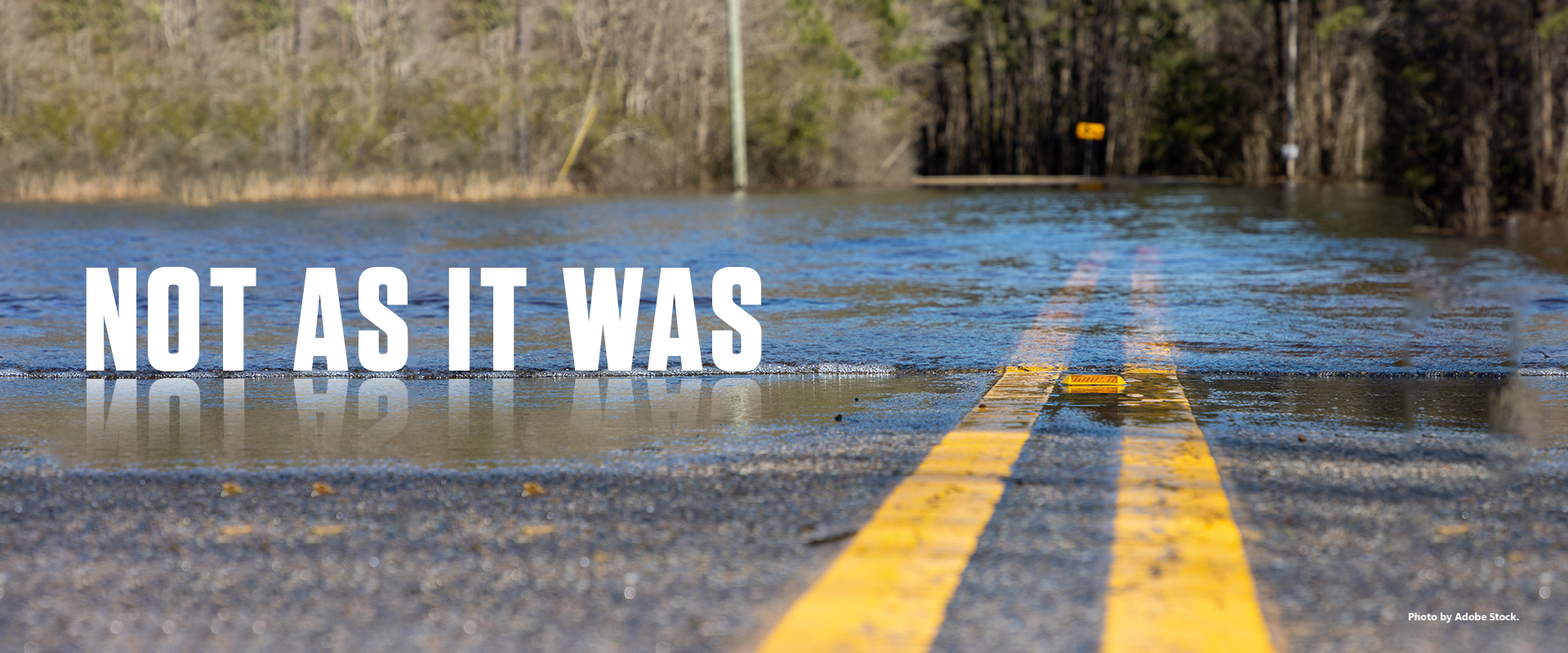
For decades, factoring together these considerations and following municipal stormwater infrastructure protocols in Texas was a predictable process. However, a perfect storm of rapid change has altered that.
So much, so fast
When it comes to calculating Texas stormwater infrastructure needs, many of the inputs have changed: climate change impacts have made extreme one-day rainfall events more common, rapid growth in urban and suburban Texas has converted vast pervious surfaces to lengthy patchworks of impervious surfaces, and much of the existing stormwater infrastructure is aging and needs improvement.
All these changes result in stormwater flowing into waterways faster — causing less predictable floods, new infrastructure needs, property damage, expensive challenges for communities and new water quality impairments.
“Stormwater runoff from rain events in urban areas, or in locations with large amounts of impervious surfaces, flows directly into water bodies, taking with it any pollutants that are on the surface, like trash, oils, chemicals and fecal matter,” said Lucas Gregory, Ph.D., associate director of the Texas Water Resources Institute (TWRI). “Whereas rain that falls on permeable surfaces like grassy areas in parks, is mostly absorbed into the soil.”
Estimated reading time: 9 minutes
As stormwater and flood threats change, Texas cities use green infrastructure to adapt
More Information
- A planning framework to mitigate localized urban stormwater inlet flooding using distributed Green Stormwater Infrastructure at an urban scale: Case study of Dallas, Texas, Journal of Hydrology
- Green Stormwater Infrastructure for Urban Flood Resilience: Opportunity Analysis for Dallas, Texas, The Nature Conservancy and the Texas A&M AgriLife Extension Service
- Green Infrastructure For Texas, part of Texas A&M AgriLife Extension
- Exploration Green
Want to get txH20 delivered right to your inbox? Click to subscribe.
When the concept of green stormwater infrastructure (GSI) gained popularity in the early 2000s, addressing these water quality problems was paramount, said Fouad Jaber, Ph.D., professor in the Department of Biological and Agricultural Engineering at Texas A&M University and Texas A&M AgriLife Extension Service specialist.
In recent years, however, water quantity and flooding problems have motivated much of the increasing interest in GSI, he said.
“When I joined Texas A&M AgriLife in 2007, the main reason for GSI was water quality,” Jaber said. “But, after Hurricane Harvey and multiple extreme flooding events, I found myself getting more questions about — could GSI be used as a flood management practice?”
What is GSI?
Designed to mimic nature’s ability to absorb and filter water, GSI helps prevent stormwater pollution using systems of plants and soil.
Traditionally the idea of stormwater management was: get the rainwater out as soon as possible. But with GSI, the philosophy is: help the landscape absorb and naturally filter the water in-place, as close to where it falls as possible, to slow runoff and protect water quality watershed-wide.
Sometimes called blue-green infrastructure, or BGI, GSI includes bioretention cells, vegetative strips, rain gardens, green roofs, rainwater harvesting systems, permeable pavements and constructed wetlands.
Traditional stormwater infrastructure includes storm drains and gutters, concrete detention and retention ponds, culverts and piped drainage.
“Traditionally the idea of stormwater management was: get the rainwater out as soon as possible,” said Bardia Heidari, Ph.D., TWRI research scientist who works closely with Jaber. “But with GSI, the philosophy is: help the landscape absorb and naturally filter the water in-place, as close to where it falls as possible, to slow runoff and protect water quality watershed-wide.”
Dallas case study shows GSI benefits
In 2016, with funding from the Nature Conservancy, the city of Dallas began partnering with Jaber to research this question: could GSI effectively enhance urban flood management within Dallas, considering capacity, cost and climate change impacts?
Jaber and Heidari began working with the city of Dallas, collected data and maps, and then ran data and scenarios through hydrological models.
Climate change is predicted to increase the number and the overall impacts of stormwater “system hotspots” — locations where the drainage network is undersized and likely to contribute to inlet overflows and flooding during rain events. Jaber said that for the storms modeled in this study, climate change resulted in an average increase of 26% in the number of drainage system hotpots compared to current conditions.
“We saw that a lot of these systems are going to be experiencing increased flooding with these increased storms caused by climate change, and we asked, ‘what if we installed green infrastructure everywhere possible?’” Jaber said. “The result was more than we had imagined — we were able to reduce flooding by 20% for the 100-year storm, which would save a lot of money.”
Permeable Pavement
Bioswale depressed parking lot median
GSI practices in action at the Texas A&M AgriLife Research and Extension Center at Dallas:
permeable pavement (top) and a bioswale depressed parking lot median (bottom). Photos by Leslie Lee, TWRI.
GSI was found to reduce overflows for all storms modeled by 17-31% and to delay peak flows, which potentially reduces areal flooding, creek flows and overbank flooding. The research also found that GSI would cost 77% less than upgrading to gray infrastructure alone to meet modeled overflows; a combination of green and gray provided the maximum cost-effective benefits.
“The results that we got were so positive, that the city was very happy with the results,” Jaber said.
Today, Heidari and Jaber continue researching GSI and educating more professionals about its potential benefits.
“Most cities’ staff don’t need convincing — they know about water quality issues, they know that the erosion is a problem — most municipal staff are well-aware, although they might have misgivings on maintenance needs and implementation costs,” Jaber said.
Indeed, some cities are codifying GSI best practices into policies. In November 2022, the city of Austin enacted several environmental protection-related updates to Austin’s Land Development Code, including requiring GSI as the primary method of stormwater pollution prevention for most site plans and subdivisions. It also requires stormwater within parking lots to drain to parking lot islands and medians where feasible.
“I spend a lot of time educating and presenting to city staff, decision-makers, consultants and engineers, and we talk about the devastating impacts of urbanization — runoff, pollution, higher bank erosion, E.coli in streams, etc., due to the conversion of pervious land to impervious land,” Jaber said. “Then I tell them there is a simple solution — you can integrate these components into parts of your development that you already have — a depressed parking lot median, instead of a high median, use a permeable parking material instead of impermeable concrete.”
Helping coastal communities adapt
Meanwhile, in the Gulf Coast region of Texas, another team of Texas A&M AgriLife experts is working to help communities adapt to changing flood and stormwater realities.
AgriLife Extension’s Green Infrastructure for Texas (GIFT) team shows leaders and communities the benefits of green infrastructure, how it can help them meet their land use goals, and how it’s working for nearby cities.
I like to tell people that we are the blue-sky part of disaster recovery — we try to help communities before a disaster strikes. Our work takes us up and down the Texas Coast and inland whenever partnerships allow.
Working mainly in the Houston and Gulf Coast region, GIFT leads workshops, provides technical assistance, completes large on-the-ground wetland and green infrastructure projects, organizes stakeholder groups, collects data, leads volunteers and provides hands-on learning for students through the GIFT High School Internship Program in Green Infrastructure Career Development, funded by a grant from the U.S. Environmental Protection Agency.
“I like to tell people that we are the blue-sky part of disaster recovery — we try to help communities before a disaster strikes,” said Christie Taylor, GIFT wetland program specialist. “Our work takes us up and down the Texas Coast and inland whenever partnerships allow.”
GIFT is a part of the Disaster Assessment and Recovery (DAR) group in AgriLife Extension and is headquartered in the Texas Community Watershed Partners office in the Clear Lake region of Houston. GIFT is a grant-funded program funded in part by the Texas General Land Office.
Unfortunately, rapid growth and extreme flooding make green infrastructure badly needed there.
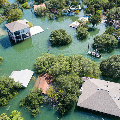
Fortunately, regional results have proven that green infrastructure works. Residents of Houston's Bay Area experienced this in 2017 when a major green infrastructure project called Exploration Green had just begun — but Hurricane Harvey hit first.
Green infrastructure saves property
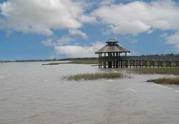
Exploration Green is a stormwater wetland park complex on land that was formerly the defunct Clear Lake City Golf Course. The Clear Lake City Water Authority now owns and manages the facility in partnership with the Exploration Green Conservancy group, and it is supported by AgriLife Extension and numerous community partners.
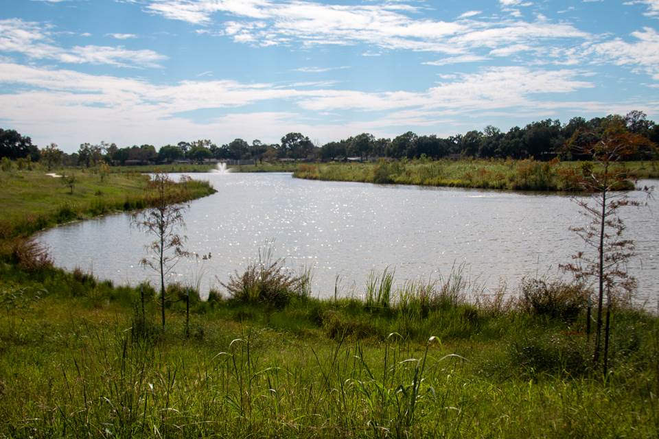
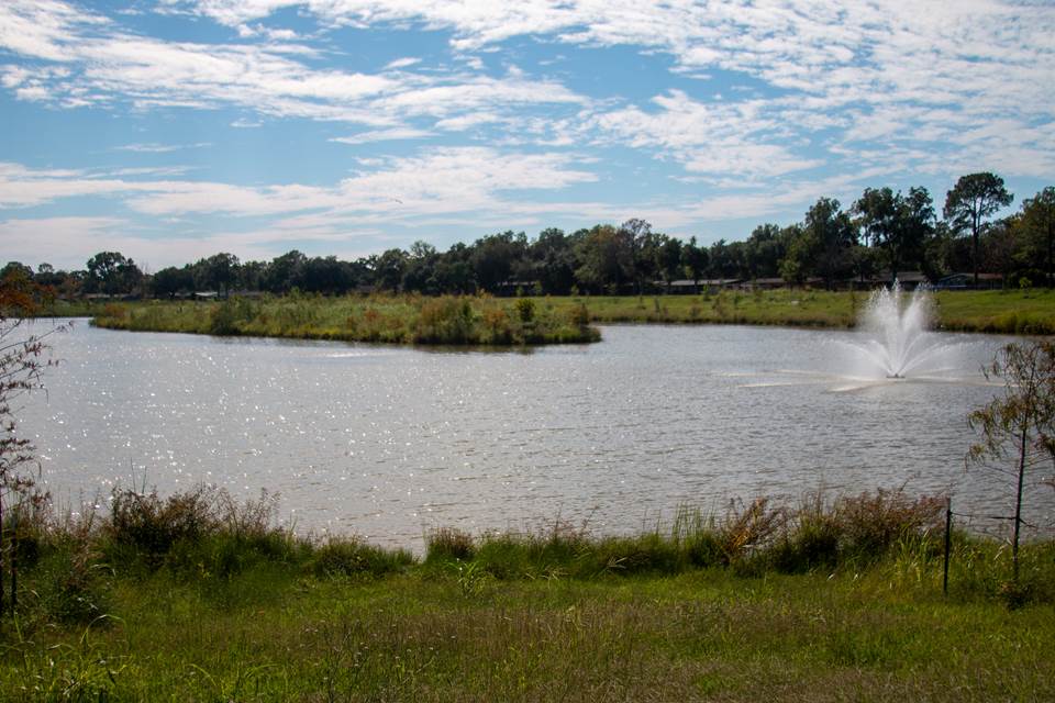
Exploration Green, a stormwater wetland park where a golf course once operated, in Clear Lake, Texas.
Photos by Cameron Castilaw, TWRI.
However, as Hurricane Harvey approached the Houston area in August 2017, only the first phase of the project had been completed.
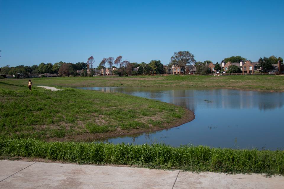
“The first wetland section was about halfway done at that point, and that one section prevented about 150 homes from flooding," Taylor said. “In previous, smaller storms, those homes had flooded.
“After that, the community said yes, we want to support this project, we want more of this,” she recalled.
It has proven its value for flood control, that is clear and visible. Now we are in the middle of a research project measuring its effect on water quality; we’re conducting regular water quality monitoring and will be analyzing that data in 2024.
Exploration Green originally had a 15-year implementation timeline. After Harvey, the timeline was sped up to 10 years. The project was funded through a bond election, and it is also now supported by a nonprofit, the Exploration Green Conservancy.
“It has proven its value for flood control, that is clear and visible,” Taylor said. “Now we are in the middle of a research project measuring its effect on water quality; we’re conducting regular water quality monitoring and will be analyzing that data in 2024.”
Building and sustaining wetlands
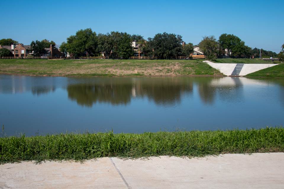
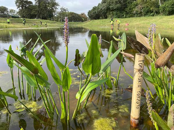
Today, Exploration Green is completing its fifth and final phase of excavation and construction. It includes vibrant wetlands in five detention ponds that hold up to 500 million gallons of stormwater, and it provides public recreation space and a nature reserve.
Taylor knows its ecosystem extremely well: not only did she and the GIFT team train and supervise the numerous teams of volunteers who planted native plants in all of the wetlands — GIFT grew the plants in their special-built stormwater wetland plant nursery.
“We planted 15,000 wetland plants in each of the five sections — that’s a lot of volunteer hours, and we couldn’t have done it without so much community support,” Taylor said.
GIFT has successfully implemented green infrastructure in numerous spots around the Houston area, including:
- Houston Botanic Garden: constructed a 2.5-acre stormwater wetland
- Anahuac National Wildlife Refuge: restored a 300+ acre freshwater prairie-wetland complex
- Sheldon Lake State Park: restored more than 500 acres of prairie-wetland complex
- Ghirardi WaterSmart Park: helped build a 3.75-acre park in League City showcasing several small-scale green infrastructure practices.
These nature-based solutions are intended to work in conjunction with gray infrastructure to meet the needs of communities, reduce stormwater runoff, protect and improve water quality, provide community green space and support local growth, the GIFT team said.
Based on these successful projects and with help from their partners, Taylor and the GIFT team have recently completed a manual for public education and outreach entitled Texas Regional Stormwater Wetland Manual Gulf Coast Region. This manual is a tool for coastal communities to use to outline future stormwater wetland projects.
Looking forward, both Jaber and Taylor were optimistic.
“I think we have reached the point where major cities are aware that they need to use these practices from the beginning of planning,” Jaber said.
“Here in Texas we can’t slow development down, but we can put these green infrastructure practices in from the beginning of a new development project and make a real difference.”
Explore this Issue


Authors

As communications manager, Leslie Lee leads TWRI's communications and marketing strategy and team, manages TWRI's publications, and coordinates effective communications support for TWRI's numerous projects serving the state of Texas.