
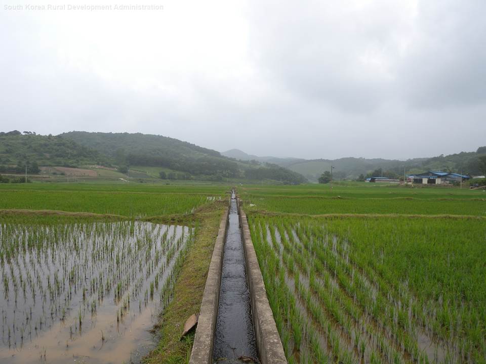
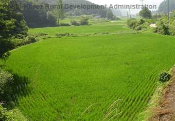
If the 2018 Olympic athletes had time to step away from their competitions in February to visit the South Korean countryside, they would have spotted acres of rice paddies covering more than half of the cultivated lands in the small Southeast Asian country. Rice has been South Korea’s predominant crop for hundreds, if not thousands, of years.
Because rice takes so much water to grow, most of the rice paddies in this small country of 24 million acres are near streams or rivers. The farmers use this surface water to irrigate and flood the rice paddies.
What the Olympians wouldn’t see is how a computer simulation model developed in Temple, Texas, is helping South Korean scientists evaluate the water quality of these paddies and the streams and rivers.
Developing a crop-specific model
As with U.S. farmers, South Korean rice farmers use fertilizers and pesticides to manage their rice fields. Once the paddies overflow, water runs back into the nearby water bodies, potentially polluting the water. With the country’s five major rivers showing recent signs of pollution, the Korean government knew it needed to monitor and measure the possibility that rice paddies were part of the problem.
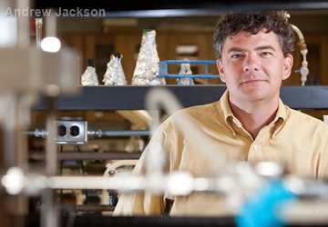
Scientists from the Republic of Korea’s National Institute of Agricultural Sciences approached Dr. Jaehak Jeong, research scientist with the Texas A&M AgriLife Research and Extension Center in Temple, several years ago to help with determining the amount of nonpoint source pollution from the rice paddies for the entire country.
“The South Korean scientists had been conducting a lot of field-scale research, monitoring rice paddy fields and measuring contaminant concentrations,” Jeong said. “But at the country-scale they didn’t have the numbers to quantify rice paddy pollution.”
The scientists traveled to Temple to learn the computer model APEX, or Agricultural Policy Environmental Extender.
Major agricultural and environmental computer simulation models developed primarily at the Texas A&M AgriLife Research and Extension Center in Temple, Texas, in collaboration with the U.S. Department of Agriculture’s Agricultural Research Service and Natural Resources Conservation Service are now used worldwide.
More information
- Mimicking Nature, txH2O
- SWAT Goes International, txH2O
- Simulating the Effects of Agricultural Management on Water Quality Dynamics in Rice Paddies for Sustainable Rice Production—Model Development and Validation, Water journal
- Blackland Research Center Models website
- Soil and Water Assessment Tool website
- Environmental effects of rice paddies in monsoonal climate
- Agricultural Policy/Environmental eXtender Recent Activities and Developments
APEX is a computer simulation model that can be used to evaluate crop and land management technologies and decisions that can affect agricultural production and environmental sustainability for individual fields, whole farms or small watersheds. APEX has components for routing water, sediment, nutrients and pesticides across complex landscapes and channel systems to the watershed outlet. It also contains groundwater and reservoir components.
Jeong said the South Korean scientists wanted to learn how to possibly use APEX and modify it to estimate loads of nutrients from rice paddies. “We discussed how to optimize the model for Korean use, what to improve to have the model better simulate rice paddy processes.”
Jeong and others at the center worked with the Korean scientists on developing a module within APEX to make those modifications, using the Korean scientists’ field research to test and calibrate the new model. The result is a rice paddy-specific model: APEX-Paddy.
The Korean government is now collecting and organizing data to expand the APEX-Paddy model to the entire country.
“They will be running the model and evaluating best management practices to reduce nutrient and sediment loads,” Jeong said.
Multitude of models
APEX is just one of the major agricultural and environmental computer simulation models developed primarily at the Temple center in collaboration with the U.S. Department of Agriculture (USDA)’s Agricultural Research Service (ARS) and Natural Resources Conservation Service. These research groups have collaborated for more than 40 years, developing and perfecting models that are now used worldwide.
“We have had a long relationship of working very collaboratively together especially with development of these models,” said Dr. Tom Gerik, the center’s director.
Computer simulation models, such as APEX, can help researchers solve complex environmental problems. Large amounts of information, including weather and soils information, geospatial information and crop management practices, as well as equations, or algorithms that describe biophysical processes, such as transpiration and groundwater infiltration, are fed into the models.
Jeong said the models “recreate the earth systems” to help answer how human activities on the land influence the environment.
As humans, we can come up with the creativity, but the models can help us answer complicated questions. We can’t calculate all the processes at a point level of a watershed; there are hundreds of thousands of points to consider.
Dr. Jaehak Jeong“As humans, we can come up with the creativity, but the models can help us answer complicated questions,” he said. “We can’t calculate all the processes at a point level of a watershed; there are hundreds of thousands of points to consider.”
The models, including APEX and EPIC, or Environmental Policy Integrated Climate, a crop and soil productivity model, can then evaluate the effects of technology, management or climate change impacts on the productivity and sustainability of agriculture and natural resources, such as soil and water.
Although there are many crop models in existence, Gerik said the ones developed at the Temple center are unique.
“What sets our models apart from other crop models out there is our models consider the management and the tools used to grow the crops.
“When we simulate the crop production system or crop, we can simulate the biophysical attributes that go along with the piece of equipment being used, whether it’s irrigation equipment or a fertilizer applicator, and show how that equipment is affecting the crop and soil properties,” Gerik said.
While other crop models are focused on plant development and yield production, Gerik said APEX and EPIC are “focused more on how agriculture is using natural resources, and the two main natural resources are the soils and water.”
SWAT, or Soil and Water Assessment Tool, is another model jointly developed with ARS primarily at the center. This model is a river basin-scale computer model developed to quantify land management practices in large, complex watersheds. The public domain model is widely used to simulate the quality and quantity of surface water and groundwater and predict the environmental impact of different land management practices.
International impact
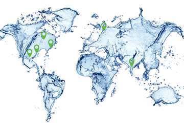
The models initially developed at the Temple center have been used all over the world to simulate, estimate and solve environmental issues.
Gerik said the models are all open source, and other scientists have taken these fundamental models and developed them further for specific applications.
“We rely on other people to share their knowledge and information and capabilities with us,” he said. “Thousands and thousands of other modelers around the world are using the models in ways we don’t even know they are being used.”
What sets our models apart from other crop models out there is our models consider the management and the tools used to grow the crops.
Jeong said other modelers might build a specific interface program that answers a question that applies to their research of interest. “Oftentimes our models serve as scientific background to answer those questions,” he said.
In addition to working with Korean scientists on the APEX-Paddy, Jeong is part of an international working group for rice paddy modeling.
The group is interested in better simulating rice paddy processes in Japan, Vietnam, India, China and United States.
By far the most widely used model developed at the Temple center is SWAT. An entire research community exists around SWAT; the river-system model has been used in more than 120 countries to address environmental and water management issues.
Dr. Raghavan Srinivasan, professor in Texas A&M’s Department of Ecosystem Science and Management and director of the Spatial Sciences Laboratory, has championed the use of SWAT internationally.
“The fastest growth of the application of the SWAT model is in Africa and Asia,” Srinivasan said. “And most of its application in next five to 10 years will come from Asia and Africa.”
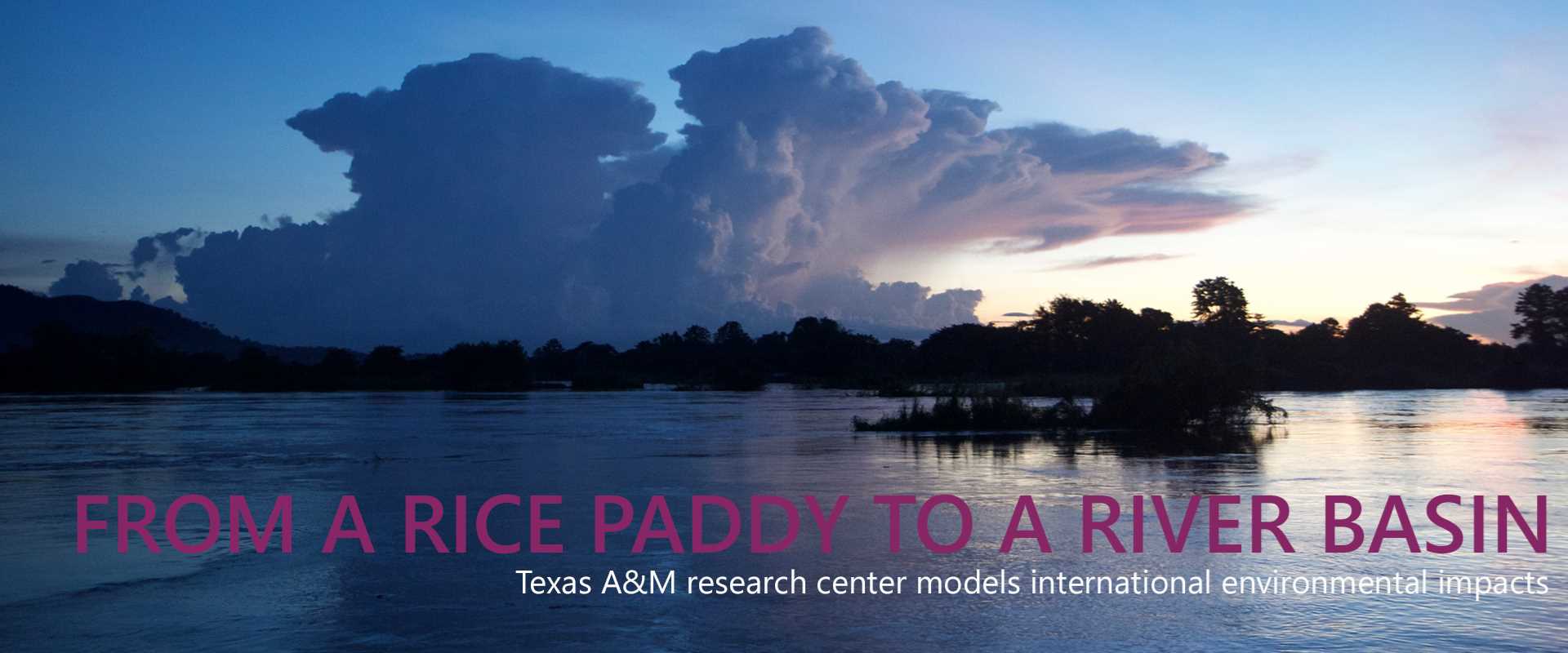
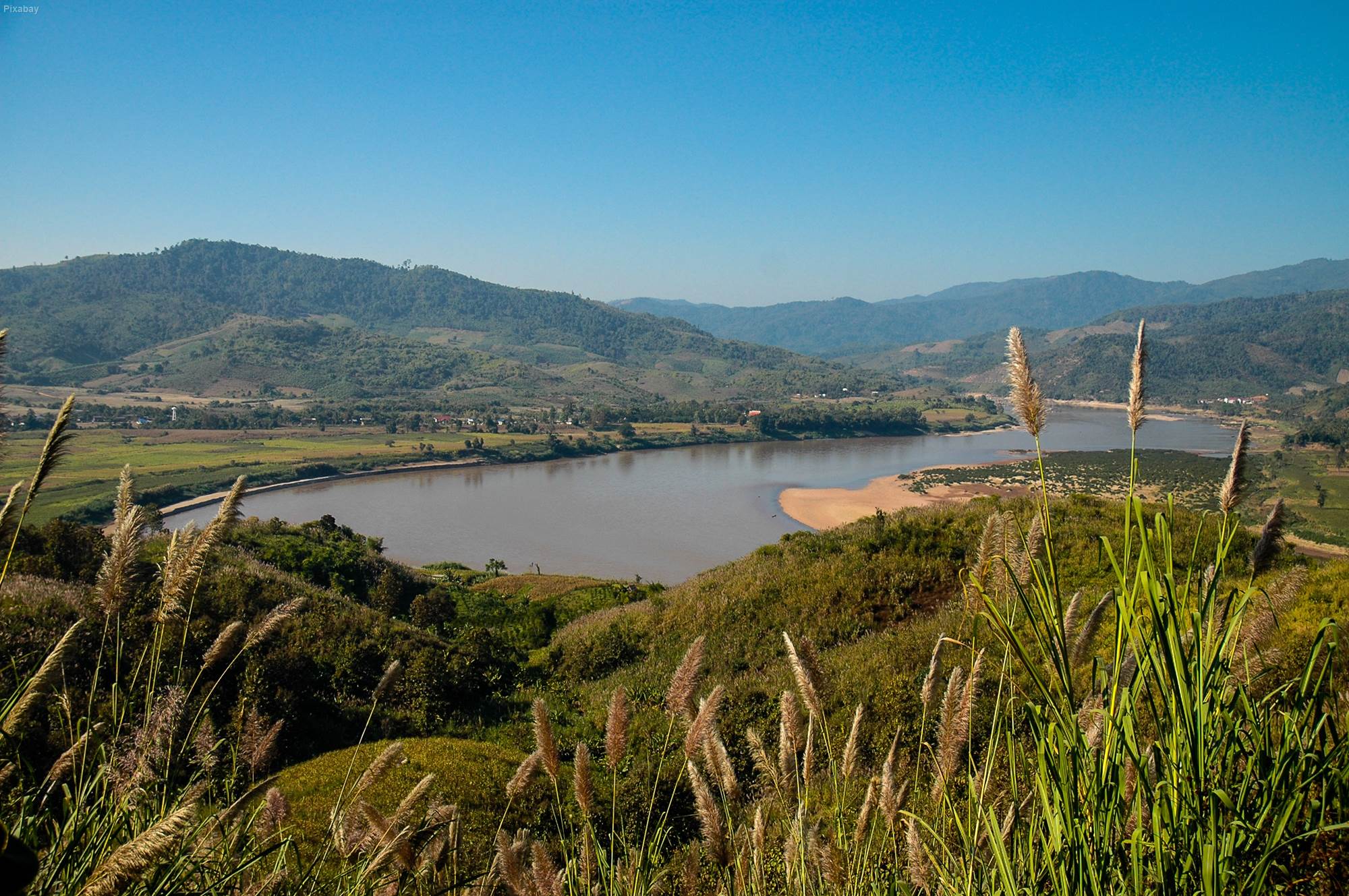
In one of its most comprehensive uses, SWAT has been adopted as a model by five countries in Southeast Asia to help these countries collectively negotiate water rights and manage water resources in the Mekong River Basin. The 675,000-square-kilometer Mekong Basin cuts through Thailand, Vietnam, Cambodia, Laos and Myanmar.
Srinivasan said in other multiple-country river basins, the countries don’t have a common platform — the same model and same assumptions — to make decisions.
“When water planning has to be done, these five countries use the same model and the same tools to make the decisions,” Srinivasan said. “This platform has really made the negotiation easy because everyone has the same information.”
The U.S. Agency for International Development funded a research project for the Kenyan government in which researchers applied the SWAT model to a portion of the Tana River below Mt. Kenya to determine the effects of reforestation policies on a reservoir.
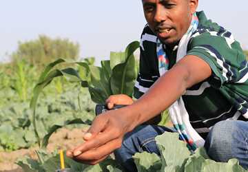
Also in Africa, SWAT and APEX are being used in the Innovation Lab for Small-Scale Irrigation project, part of Feed the Future, the U.S. Government’s Global Hunger and Food Security initiative. The project works in Ghana, Ethiopia and Tanzania to provide improved efficient methods of supplying water to small farms. (See “Feeding the Future”.)
“The project partners used APEX at the field level to look at small-scale irrigation in terms of how the farmers can grow crops and determine if they have enough water within those small areas to be able to grow crops,” Gerik said. “We can simulate crop water use and the depletion of the aquifer and well around it to see if they have enough water to fully grow the crop and what the yield potential would be if water starts to run out.”
Srinivasan said SWAT and APEX were also used to identify potential regions in the countries to expand the use of specific irrigation technologies that were adapted for use on the small farms.
Expanding through training
Training workshops have been a fundamental pathway for expanding the use of these models internationally and opening up possibilities for collaborations.
“Once we do training, we become engaged with a few of the students, and they begin to use the models and become pretty avid model users,” Gerik said. “We develop ties and linkages with those people. Sometimes we develop a collaborative working relationship with them to develop a new feature or new capability that gets added to the models.”
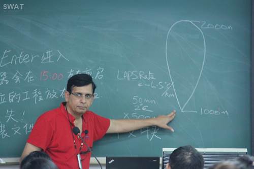
Jeong initially trained the Korean scientists in using APEX in Temple and has since conducted trainings in Korea for each of the last three years with another training this year. In addition to his workshops in South Korea, Jeong is visiting a Chinese university this year to teach researchers about using APEX-Paddy in China and will be a visiting scholar for a month at a Japanese university next fall.
Srinivasan, particularly, has worked to organize SWAT trainings and conferences all over the world.
Srinivasan said the Temple team is conducting eight to 10 workshops a year worldwide while other researchers are conducting about 50-60 workshops a year. The Temple group organizes two to three international and regional conferences a year, each averaging 150 participants from 30-40 countries.
The increase in SWAT being used worldwide by so many scientists has brought along an increase in the number of peer-reviewed publications. Srinivasan said 3,100 peer-reviewed publications about SWAT have been published, 600 in 2017.
Not only do the modelers travel internationally teaching and conducting research using these models, scientists from all over the world come to Temple to learn and work with the Temple group.
Gerik said the center itself has 40-50 scientists on staff from other countries, including Zimbabwe, China, Argentina, India, South Korea, Italy, Bolivia, Germany, Taiwan and Ethiopia. Other scientists come to Temple for extended visits to work on adding new features to the models.
Gerik said these scientists are experts in particular areas of science who contribute their knowledge on biophysical processes to the model.
“In many cases, they are the people who help refine the models because they look at the simulation methodology and outcomes differently than we do,” he said.
Dr. Ann Van Griensven, associate professor of hydrology and water quality at the IHE Delft Institute of Water Education in the Netherlands, recently was in Temple working closely with Dr. Jeff Arnold of ARS and the SWAT team of developers. She has worked with SWAT for 20 years, including model developments and auto-calibration tools.
“At this moment, I am working on the new SWAT+ version, which is under development,” Van Griensven said. “I am working on improving the representation of riparian wetland processes in SWAT model applications.”
She said wetland processes have a large impact on water quality and quantity but are poorly represented in catchment models.
“The new SWAT+ version better represents interactions between rivers and landscape units, which is important for the simulation of riparian wetlands, which interface between the river and the landscape.”
Continuing model collaboration
Gerik said the Temple group will continue to collaborate with scientists around the world to refine and develop the models for new applications.
The team is currently developing a global platform for the SWAT model with cloud-based worldwide basic data.
Srinivasan said scientists now using SWAT download the model, collect and input the needed data into the SWAT model and then develop their own project.
“This new platform will make it easier for anyone in the world to use the SWAT model without worrying about how to get data,” Srinivasan said. “With the global platform, we are developing the model for the whole world and others can just do the application.”
“Because we have such a long history here and because of the models’ wide application and because people are interested in improving water use and finding ways to reduce the impact of agriculture on the environment and to more efficiently use all of our natural resources, there is lot of demand to use models,” Gerik said.
Explore this Issue

Authors

As the former communications manager for TWRI, Kathy Wythe provided leadership for the institute's communications, including a magazine, newsletters, brochures, social media, media relations and special projects.